Transport Functions
Road
Multimodal
Hub Profile
Place type
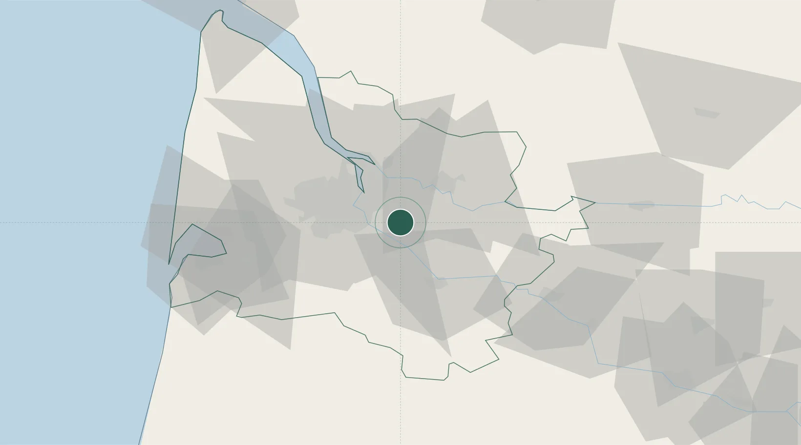
Populated place
Region
Nouvelle-Aquitaine
Population
511
Time zone
Europe/Paris
Elevation
97 m
Location
Nearby Logistics Neighbours
Cities
- 1Sadirac1 km
- 2Le Pout3 km
- 3Saint-Genès-de-Lombaud4 km
- 4Sallebuf6 km
- 5Créon6 km
Airports
Trade Zones
- 1ZFU Hauts de Garonne15 km
- 2Port de Bordeaux18 km
- 3ZFU La Rochelle166 km
- 4ZFU Toulouse197 km
- 5Depósito Franco de Pasajes (Guipúzcoa)203 km
DatabookThe Record of Consolidated Knowledge
France beyond logistics?