Transport Functions
Rail
Road
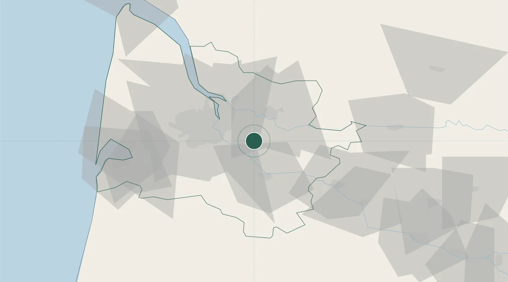
Hub Profile
Place type
Populated place
Region
Nouvelle-Aquitaine
Population
3,139
Time zone
Europe/Paris
Elevation
104 m
Location
Nearby Logistics Neighbours
Cities
- 1La Sauve1 km
- 2Saint-Genès-de-Lombaud4 km
- 3Le Pout5 km
- 4Camiac-et-Saint-Denis6 km
- 5Loupes6 km
Airports
Trade Zones
- 1ZFU Hauts de Garonne20 km
- 2Port de Bordeaux23 km
- 3ZFU La Rochelle170 km
- 4ZFU Toulouse192 km
- 5Depósito Franco de Pasajes (Guipúzcoa)205 km
DatabookThe Record of Consolidated Knowledge
France beyond logistics?