UN/LOCODE hub · France
FRTUY

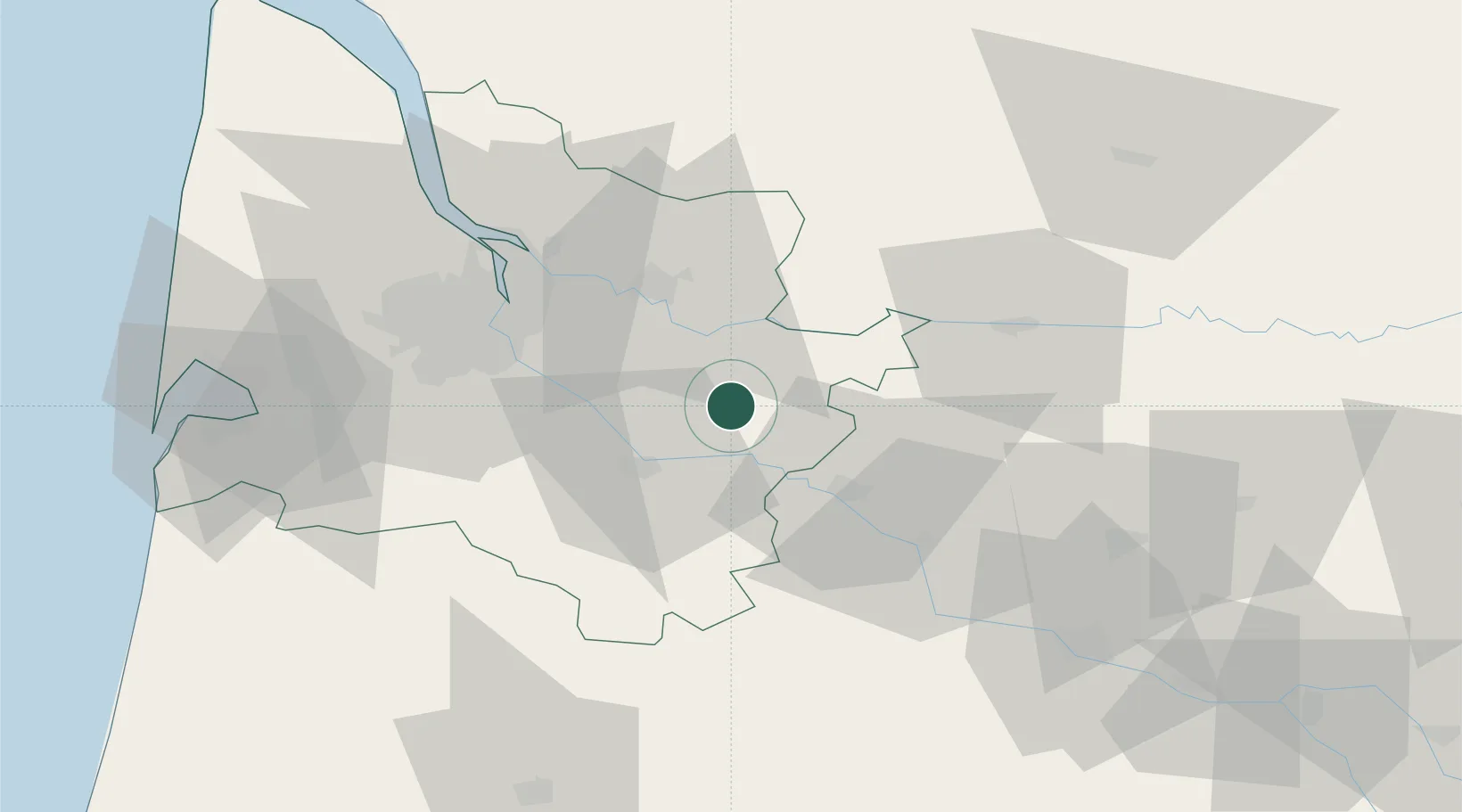
Sauveterre-de-Guyenne

44.6833°, -0.0833°
1,722
Population
2
Transport functions

Transport Functions

Road
Multimodal
UN/LOCODE

Hub Profile

Place type
Populated place
GeoNames
Region
Nouvelle-Aquitaine
GeoNames
Population
1,722
GeoNames
Time zone
Europe/Paris
GeoNames
Elevation
71 m
GeoNames

Location

Location of FRTUY
Natural Earth 10m (public domain) · Nouvelle-Aquitaine · FRTUY · 44.68, -0.08GoogleOSMYandex

Nearby Logistics Neighbours

Cities
  1. 1Saint-Sulpice-de-Pommiers3 km
  2. 2Saint-Brice6 km
  3. 3Camiran6 km
  4. 4Mesterrieux6 km
  5. 5Loubens7 km
Nearest neighbours — logibook spatial index (haversine) over the source coordinates
Ports
  1. 1Bordeaux43 km
  2. 2Ambes51 km
  3. 3Blaye68 km
  4. 4Pauillac78 km
  5. 5Le Verdon123 km
Nearest neighbours — logibook spatial index (haversine) over the source coordinates
Airports
  1. 1Bergerac Dordogne-Périgord airport50 km
  2. 2Bordeaux–Mérignac Airport53 km
  3. 3Agen La Garenne airport78 km
  4. 4Aérodrome d'Arcachon-La Teste-de-Buch82 km
  5. 5Cazaux (BA 120) Air Base84 km
Nearest neighbours — logibook spatial index (haversine) over the source coordinates
Trade Zones
  1. 1ZFU Hauts de Garonne42 km
  2. 2Port de Bordeaux44 km
  3. 3ZFU Toulouse171 km
  4. 4ZFU La Rochelle187 km
  5. 5Depósito Franco de Pasajes (Guipúzcoa)211 km
Nearest neighbours — logibook spatial index (haversine) over the source coordinates
DatabookThe Record of Consolidated Knowledge
France beyond logistics?
Browse databook

All Sources

LocationsUN/LOCODE
UN/LOCODE — free
LocationsGeoNames
CC BY 4.0
Portsthe NGA World Port Index
Public domain (US gov)
AirportsOurAirports
Public domain
Trade Zonesthe World Bank SEZ database
CC BY 4.0
Trade ZonesOpen Zone Map
CC BY
← France locations