Transport Functions
Multimodal
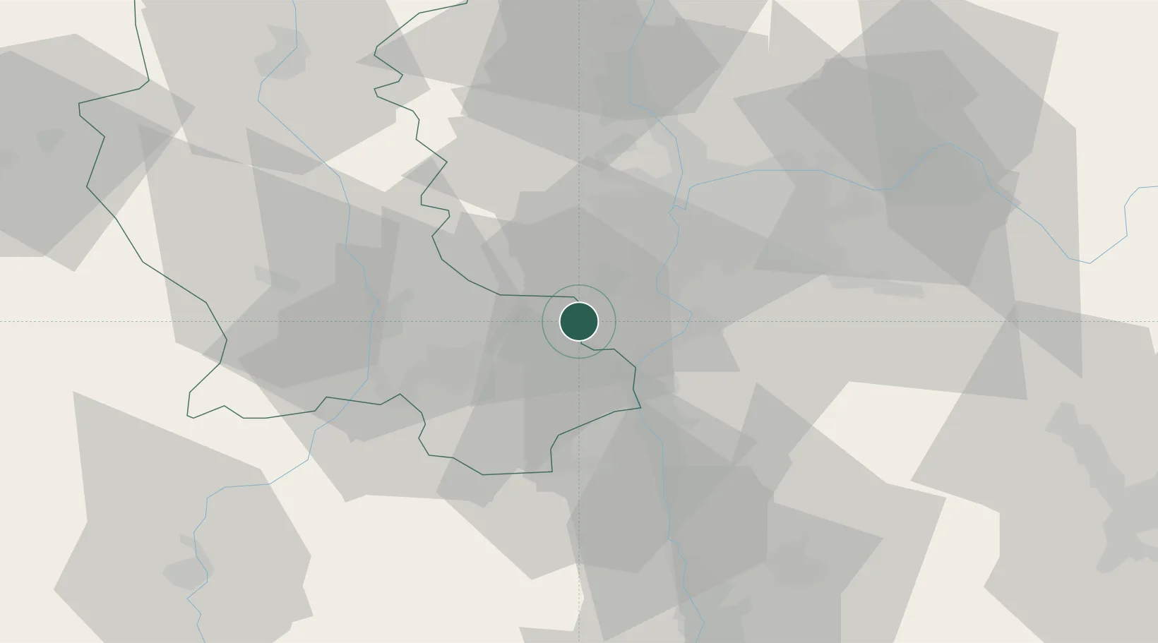
Hub Profile
Place type
Populated place
Region
Rhône-Alpes
Population
1,470
Time zone
Europe/Paris
Elevation
366 m
Location
Nearby Logistics Neighbours
Cities
- 1Trèves0 km
- 2Genilac5 km
- 3Lorette6 km
- 4Saint-Paul-en-Jarez8 km
- 5Chassagny10 km
Ports
- 1Fos236 km
- 2Port-de-Bouc239 km
- 3Port Saint Louis Du Rhone239 km
- 4Sete249 km
- 5Marseille253 km
Airports
Trade Zones
- 1ZFU Vénissieux24 km
- 2ZFU Lyon 9e29 km
- 3ZFU Saint-Etienne30 km
- 4ZFU Vaulx-en-Velin35 km
- 5ZFU Rillieux-la-Pape37 km
DatabookThe Record of Consolidated Knowledge
France beyond logistics?