Transport Functions
Rail
Road
Hub Profile
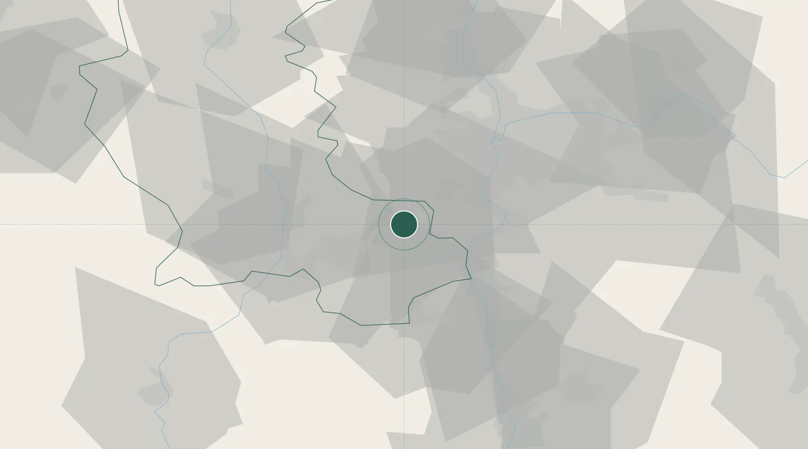
Place type
Populated place
Region
Rhône-Alpes
Population
3,202
Time zone
Europe/Paris
Elevation
317 m
Location
Nearby Logistics Neighbours
Cities
- 1Genilac2 km
- 2Saint-Paul-en-Jarez4 km
- 3Châteauneuf6 km
- 4Trèves6 km
- 5Le Chambon14 km
Ports
- 1Fos235 km
- 2Port-de-Bouc238 km
- 3Port Saint Louis Du Rhone238 km
- 4Sete246 km
- 5Marseille252 km
Airports
Trade Zones
- 1ZFU Saint-Etienne25 km
- 2ZFU Vénissieux29 km
- 3ZFU Lyon 9e33 km
- 4ZFU Vaulx-en-Velin40 km
- 5ZFU Rillieux-la-Pape41 km
DatabookThe Record of Consolidated Knowledge
France beyond logistics?