UN/LOCODE hub · France
FRTDB
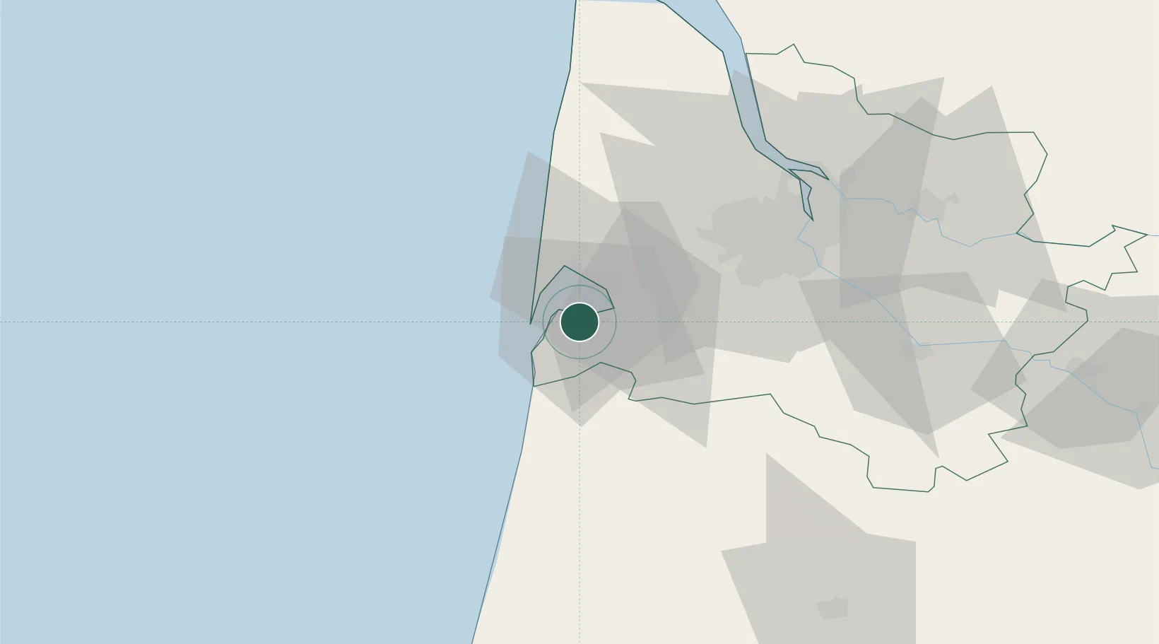
La Teste-de-Buch
44.6333°, -1.1333°
27,253
Population
2
Transport functions
Transport Functions
Rail
Road
Hub Profile
Place type
Populated place
Region
Nouvelle-Aquitaine
Population
27,253
Time zone
Europe/Paris
Elevation
5 m
Location
Nearby Logistics Neighbours
Cities
- 1Arcachon4 km
- 2La Barbotière5 km
- 3Gujan-Mestras5 km
- 4Le Teich9 km
- 5Andernos-les-Bains11 km
Airports
Trade Zones
- 1ZFU Hauts de Garonne49 km
- 2Port de Bordeaux56 km
- 3Depósito Franco de Pasajes (Guipúzcoa)159 km
- 4ZFU La Rochelle170 km
- 5Depósito Franco de Bilbao210 km
DatabookThe Record of Consolidated Knowledge
France beyond logistics?