UN/LOCODE hub · France
FRBR5

La Barbotière

44.6333°, -1.0667°
1
Transport functions

Transport Functions

Port
UN/LOCODE

Hub Profile

Region
33
GeoNames

Location

Location of FRBR5
Natural Earth 10m (public domain) · 33 · FRBR5 · 44.63, -1.07GoogleOSMYandex

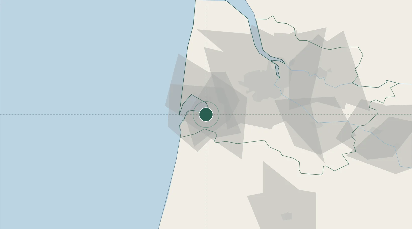
Nearby Logistics Neighbours

Cities
  1. 1Gujan-Mestras0 km
  2. 2Le Teich4 km
  3. 3La Teste-de-Buch5 km
  4. 4Biganos7 km
  5. 5Facture8 km
Nearest neighbours — logibook spatial index (haversine) over the source coordinates
Ports
  1. 1Bordeaux47 km
  2. 2Ambes60 km
  3. 3Blaye64 km
  4. 4Pauillac68 km
  5. 5Le Verdon102 km
Nearest neighbours — logibook spatial index (haversine) over the source coordinates
Airports
  1. 1Aérodrome d'Arcachon-La Teste-de-Buch5 km
  2. 2Cazaux (BA 120) Air Base12 km
  3. 3Bordeaux–Mérignac Airport35 km
  4. 4Mont-de-Marsan (BA 118) Air Base92 km
  5. 5Royan-Médis Airport111 km
Nearest neighbours — logibook spatial index (haversine) over the source coordinates
Trade Zones
  1. 1ZFU Hauts de Garonne44 km
  2. 2Port de Bordeaux52 km
  3. 3Depósito Franco de Pasajes (Guipúzcoa)161 km
  4. 4ZFU La Rochelle170 km
  5. 5Depósito Franco de Bilbao214 km
Nearest neighbours — logibook spatial index (haversine) over the source coordinates
DatabookThe Record of Consolidated Knowledge
France beyond logistics?
Browse databook

All Sources

LocationsUN/LOCODE
UN/LOCODE — free
Portsthe NGA World Port Index
Public domain (US gov)
AirportsOurAirports
Public domain
Trade Zonesthe World Bank SEZ database
CC BY 4.0
Trade ZonesOpen Zone Map
CC BY
← France locations