Transport Functions
Port
Hub Profile
Place type
Populated place
Region
Occitanie
Population
79
Time zone
Europe/Paris
Elevation
642 m
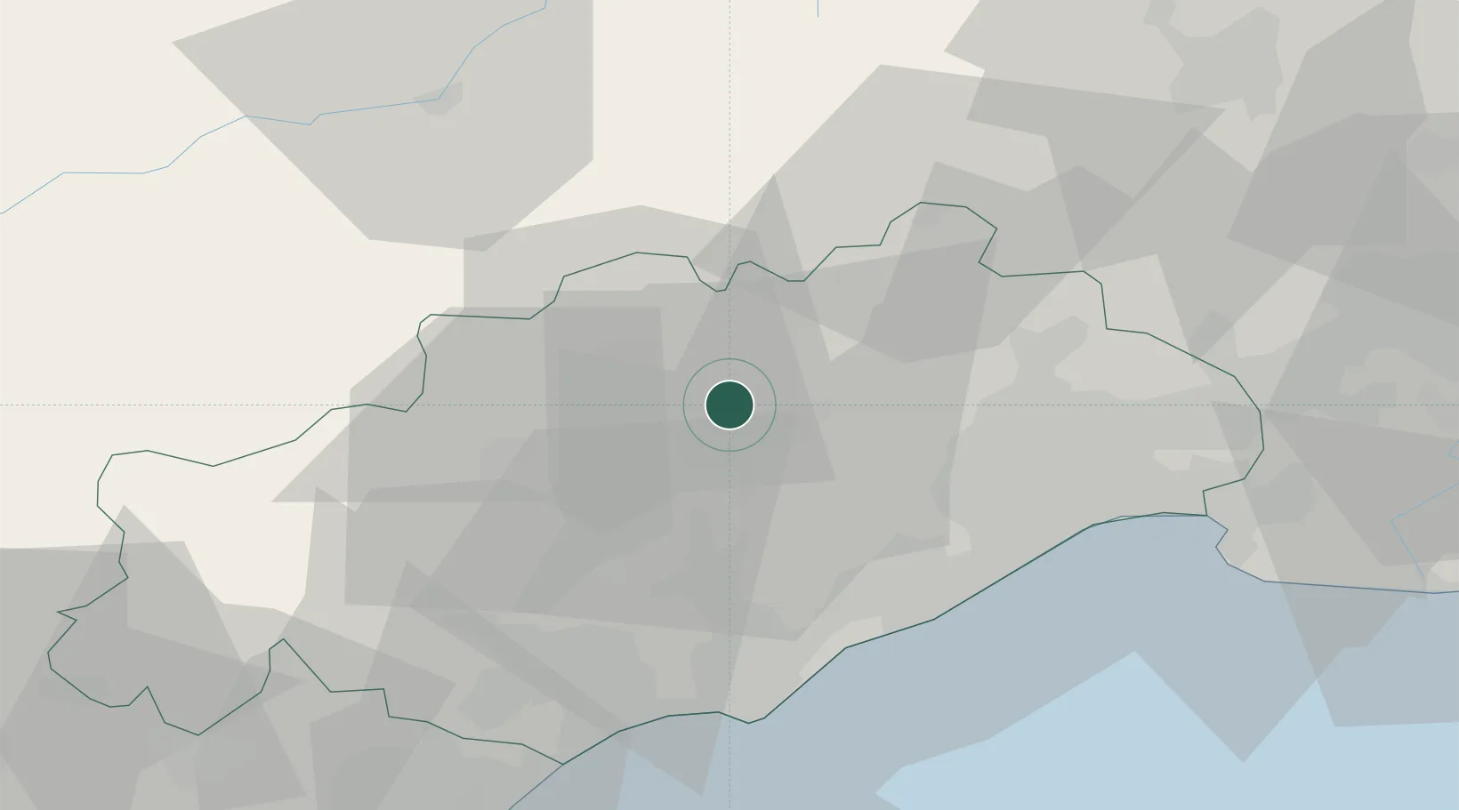
Location
Nearby Logistics Neighbours
Cities
- 1Arboras1 km
- 2Jonquières2 km
- 3Lagamas6 km
- 4Saint-André-de-Sangonis6 km
- 5Saint-Jean-de-Fos7 km
Ports
- 1Sete38 km
- 2Port-La-Nouvelle83 km
- 3Port Saint Louis Du Rhone114 km
- 4Fos118 km
- 5Port-de-Bouc127 km
Airports
Trade Zones
- 1ZFU Montpellier32 km
- 2ZFU Béziers45 km
- 3ZFU Nîmes72 km
- 4ZFU Avignon111 km
- 5ZFU Perpignan121 km
DatabookThe Record of Consolidated Knowledge
France beyond logistics?