Transport Functions
Multimodal
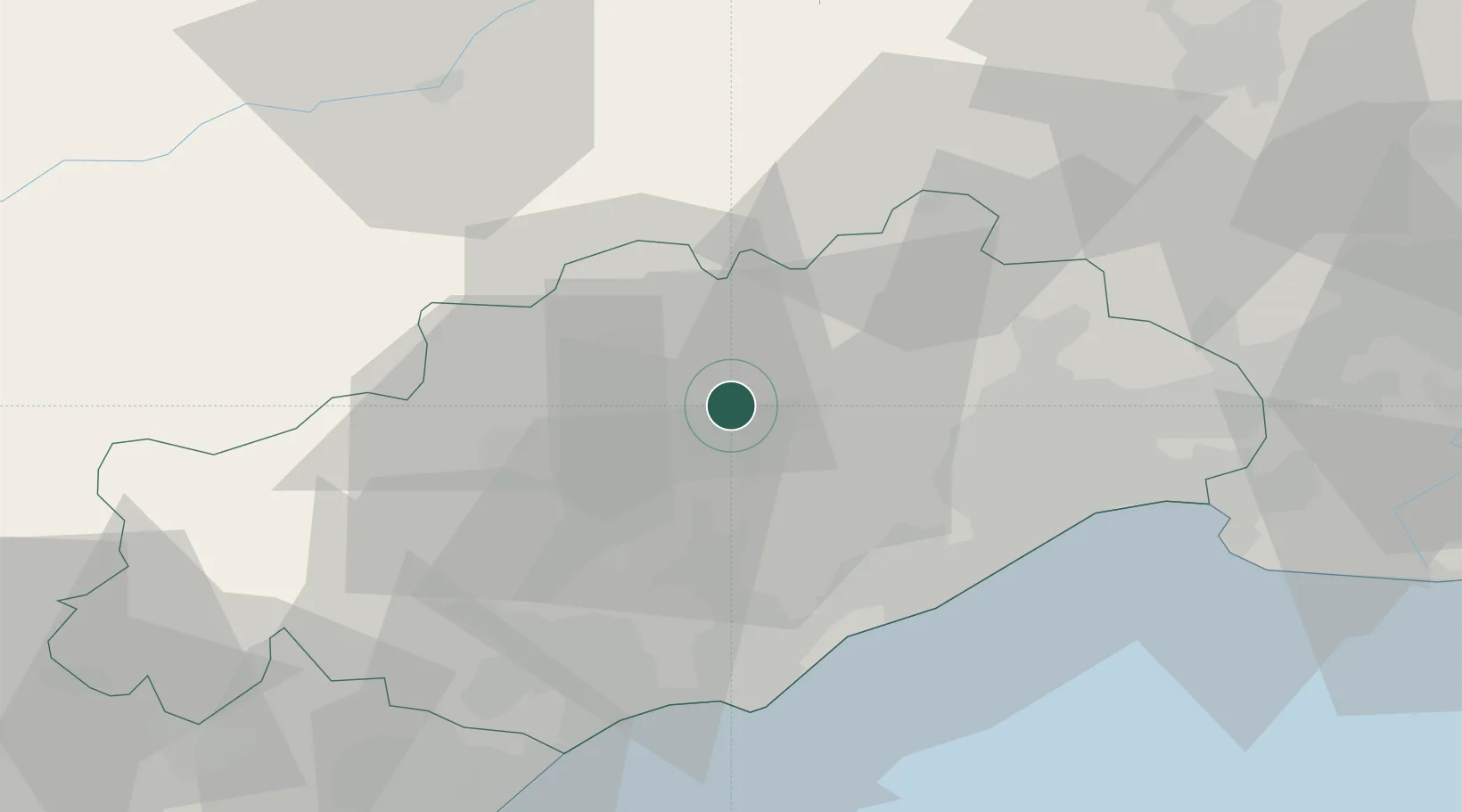
Hub Profile
Place type
Populated place
Region
Occitanie
Population
406
Time zone
Europe/Paris
Elevation
119 m
Location
Nearby Logistics Neighbours
Cities
- 1Saint-Saturnin2 km
- 2Arboras2 km
- 3Lagamas4 km
- 4Saint-André-de-Sangonis5 km
- 5Ceyras6 km
Ports
- 1Sete37 km
- 2Port-La-Nouvelle81 km
- 3Port Saint Louis Du Rhone114 km
- 4Fos118 km
- 5Port-de-Bouc126 km
Airports
Trade Zones
- 1ZFU Montpellier32 km
- 2ZFU Béziers44 km
- 3ZFU Nîmes72 km
- 4ZFU Avignon111 km
- 5ZFU Perpignan119 km
DatabookThe Record of Consolidated Knowledge
France beyond logistics?