UN/LOCODE hub · France
FRJDF
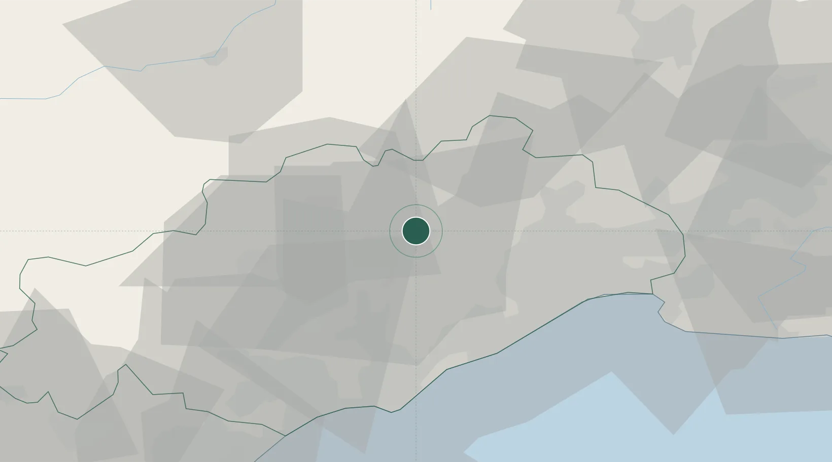
Saint-Jean-de-Fos
43.7000°, 3.5500°
1,296
Population
1
Transport functions
Transport Functions
Multimodal
Hub Profile
Place type
Populated place
Region
Occitanie
Population
1,296
Time zone
Europe/Paris
Elevation
106 m
Location
Nearby Logistics Neighbours
Cities
- 1Lagamas5 km
- 2Arboras5 km
- 3Puéchabon6 km
- 4Saint-Saturnin7 km
- 5Saint-André-de-Sangonis7 km
Ports
- 1Sete36 km
- 2Port-La-Nouvelle85 km
- 3Port Saint Louis Du Rhone108 km
- 4Fos112 km
- 5Port-de-Bouc120 km
Airports
Trade Zones
- 1ZFU Montpellier26 km
- 2ZFU Béziers49 km
- 3ZFU Nîmes65 km
- 4ZFU Avignon104 km
- 5ZFU Perpignan123 km
DatabookThe Record of Consolidated Knowledge
France beyond logistics?