UN/LOCODE hub · France
FRSQB

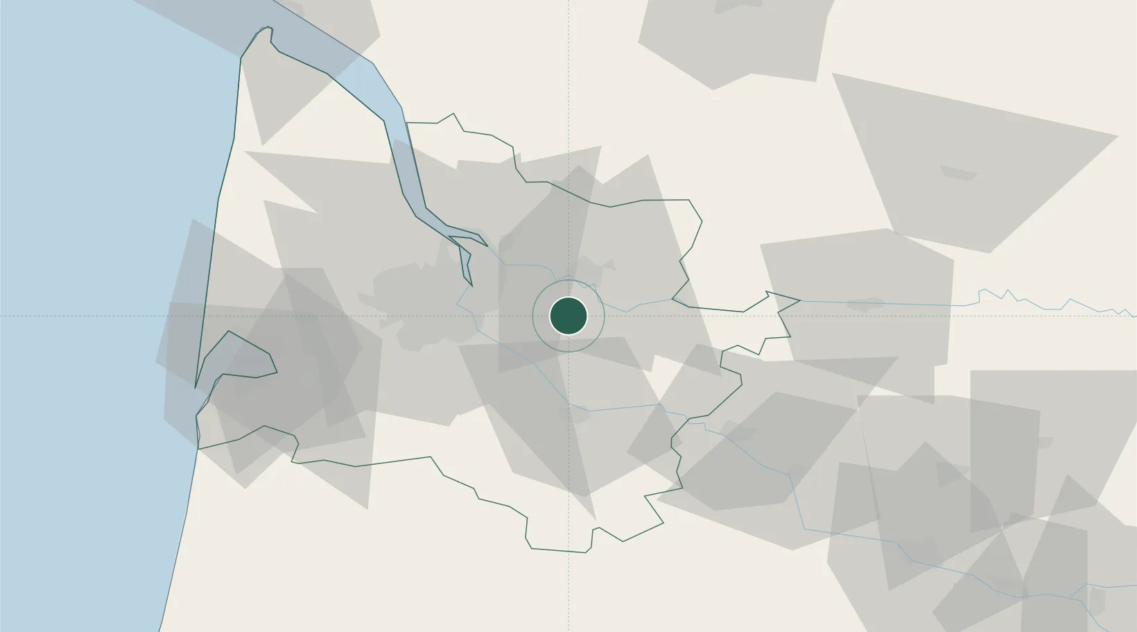
Saint-Quentin-de-Baron

44.8167°, -0.2833°
1,043
Population
2
Transport functions

Transport Functions

Road
Multimodal
UN/LOCODE

Hub Profile

Place type
Populated place
GeoNames
Region
Nouvelle-Aquitaine
GeoNames
Population
1,043
GeoNames
Time zone
Europe/Paris
GeoNames
Elevation
57 m
GeoNames

Location

Location of FRSQB
Natural Earth 10m (public domain) · Nouvelle-Aquitaine · FRSQB · 44.82, -0.28GoogleOSMYandex

Nearby Logistics Neighbours

Cities
  1. 1Nérigean2 km
  2. 2Espiet2 km
  3. 3Tizac-de-Curton3 km
  4. 4Baron3 km
  5. 5Cadarsac4 km
Nearest neighbours — logibook spatial index (haversine) over the source coordinates
Ports
  1. 1Bordeaux23 km
  2. 2Ambes30 km
  3. 3Blaye46 km
  4. 4Pauillac56 km
  5. 5Le Verdon101 km
Nearest neighbours — logibook spatial index (haversine) over the source coordinates
Airports
  1. 1Bordeaux–Mérignac Airport34 km
  2. 2Bergerac Dordogne-Périgord airport63 km
  3. 3Aérodrome d'Arcachon-La Teste-de-Buch70 km
  4. 4Cazaux (BA 120) Air Base74 km
  5. 5Cognac-Châteaubernard (BA 709) Air Base94 km
Nearest neighbours — logibook spatial index (haversine) over the source coordinates
Trade Zones
  1. 1Port de Bordeaux22 km
  2. 2ZFU Hauts de Garonne23 km
  3. 3ZFU La Rochelle166 km
  4. 4ZFU Toulouse193 km
  5. 5Depósito Franco de Pasajes (Guipúzcoa)212 km
Nearest neighbours — logibook spatial index (haversine) over the source coordinates
DatabookThe Record of Consolidated Knowledge
France beyond logistics?
Browse databook

All Sources

LocationsUN/LOCODE
UN/LOCODE — free
LocationsGeoNames
CC BY 4.0
Portsthe NGA World Port Index
Public domain (US gov)
AirportsOurAirports
Public domain
Trade Zonesthe World Bank SEZ database
CC BY 4.0
Trade ZonesOpen Zone Map
CC BY
← France locations