About
Methodology
Sources
Licensing
English
EN
English
TR
Türkçe
DE
Deutsch
FR
Français
ES
Español
IT
Italiano
PT
Português
NL
Nederlands
PL
Polski
RU
Русский
UK
Українська
CS
Čeština
RO
Română
EL
Ελληνικά
BG
Български
AR
العربية
FA
فارسی
UR
اردو
HI
हिन्दी
BN
বাংলা
ID
Bahasa Indonesia
VI
Tiếng Việt
ZH
中文
JA
日本語
KO
한국어
logibook
/
Countries
/
France
/
Locations
/
Vognes
UN/LOCODE hub ·
France
FR
NEH
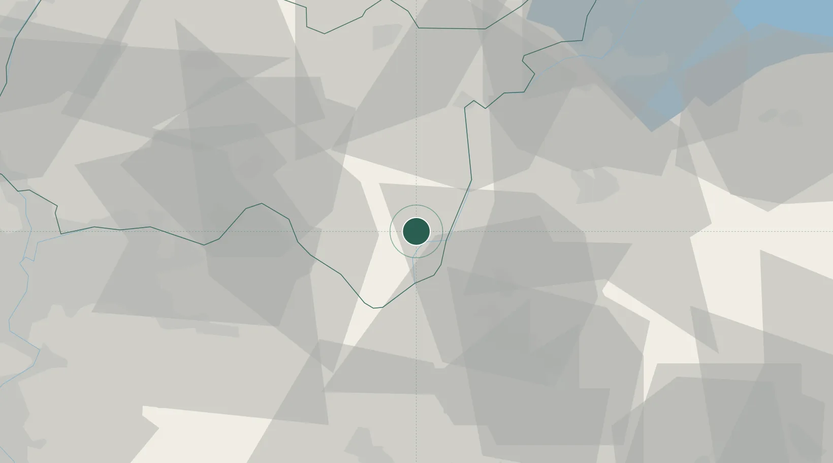
Vognes
45.8167°, 5.7167°
2
Transport functions
Transport Functions
Port
Multimodal
UN/LOCODE
Hub Profile
Region
01
GeoNames
Location
Natural Earth 10m (public domain) · 01 · FRNEH · 45.82, 5.72
Google ↗
OSM ↗
Yandex ↗
Nearby Logistics Neighbours
Cities
1
Marignieu
2 km
2
Pugieu
5 km
3
Culoz
6 km
4
Lucey
9 km
5
Ruffieux
10 km
Nearest neighbours — logibook spatial index (haversine) over the source coordinates
Ports
1
Nice
266 km
2
Villefranche
267 km
3
Monaco
268 km
4
Cannes
272 km
5
Antibes
272 km
Nearest neighbours — logibook spatial index (haversine) over the source coordinates
Airports
1
Chambéry Aix les Bains airport
24 km
2
Annecy Meythet airport
32 km
3
Ambérieu Air Base (BA 278)
36 km
4
Lyon Saint-Exupéry Airport
50 km
5
Geneva Cointrin International Airport
56 km
Nearest neighbours — logibook spatial index (haversine) over the source coordinates
Trade Zones
1
Port Franc de Geneve
50 km
2
Geneva Freeport, La Praille, Geneva
52 km
3
Geneva Cointrin International Airport Free Port
52 km
4
ZFU Vaulx-en-Velin
62 km
5
ZFU Rillieux-la-Pape
66 km
Nearest neighbours — logibook spatial index (haversine) over the source coordinates
Data
book
The Record of Consolidated Knowledge
France beyond logistics?
Browse databook
→
All Sources
Locations
UN/LOCODE
UN/LOCODE — free
↗
Ports
the NGA World Port Index
Public domain (US gov)
↗
Airports
OurAirports
Public domain
↗
Trade Zones
the World Bank SEZ database
CC BY 4.0
↗
Trade Zones
Open Zone Map
CC BY
↗
← France locations