UN/LOCODE hub · France
FR3SJ

Saint-Jean-de-Serres
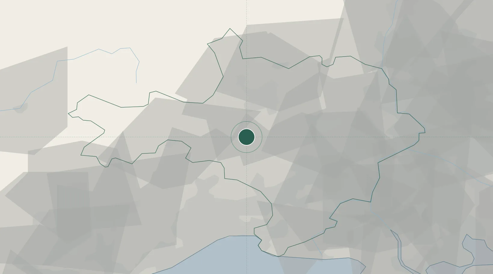
43.9833°, 4.0667°
484
Population
2
Transport functions

Transport Functions

Rail
Road
UN/LOCODE

Hub Profile

Place type
Populated place
GeoNames
Region
Occitanie
GeoNames
Population
484
GeoNames
Time zone
Europe/Paris
GeoNames
Elevation
122 m
GeoNames

Location

Location of FR3SJ
Natural Earth 10m (public domain) · Occitanie · FR3SJ · 43.98, 4.07GoogleOSMYandex

Nearby Logistics Neighbours

Cities
  1. 1Canaules-et-Argentières1 km
  2. 2Savignargues2 km
  3. 3Aigremont4 km
  4. 4Logrian-et-Comiac-de-Florian5 km
  5. 5Puechredon5 km
Nearest neighbours — logibook spatial index (haversine) over the source coordinates
Ports
  1. 1Sete71 km
  2. 2Port Saint Louis Du Rhone90 km
  3. 3Fos91 km
  4. 4Port-de-Bouc98 km
  5. 5Marseille128 km
Nearest neighbours — logibook spatial index (haversine) over the source coordinates
Airports
  1. 1Aérodrome d'Alès Cévennes11 km
  2. 2Nîmes-Arles-Camargue Airport38 km
  3. 3Montpellier-Méditerranée Airport46 km
  4. 4Orange-Caritat (BA 115) Air Base66 km
  5. 5Aubenas-South Ardèche Airport67 km
Nearest neighbours — logibook spatial index (haversine) over the source coordinates
Trade Zones
  1. 1ZFU Nîmes29 km
  2. 2ZFU Montpellier46 km
  3. 3ZFU Avignon59 km
  4. 4ZFU Béziers99 km
  5. 5ZFU Valence122 km
Nearest neighbours — logibook spatial index (haversine) over the source coordinates
DatabookThe Record of Consolidated Knowledge
France beyond logistics?
Browse databook

All Sources

LocationsUN/LOCODE
UN/LOCODE — free
LocationsGeoNames
CC BY 4.0
Portsthe NGA World Port Index
Public domain (US gov)
AirportsOurAirports
Public domain
Trade Zonesthe World Bank SEZ database
CC BY 4.0
Trade ZonesOpen Zone Map
CC BY
← France locations