Transport Functions
Road
Multimodal
Hub Profile
Place type
Populated place
Region
Occitanie
Population
391
Time zone
Europe/Paris
Elevation
171 m
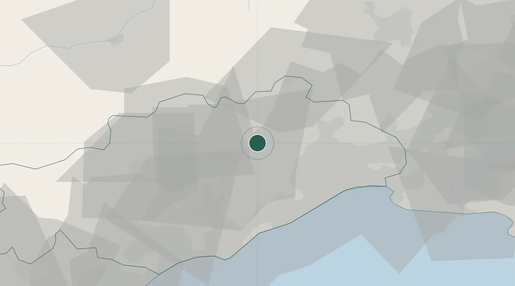
Location
Nearby Logistics Neighbours
Cities
- 1Argelliers6 km
- 2Saint-Jean-de-Fos6 km
- 3La Boissière6 km
- 4Lagamas10 km
- 5Vailhauquès10 km
Ports
- 1Sete36 km
- 2Port-La-Nouvelle90 km
- 3Port Saint Louis Du Rhone104 km
- 4Fos107 km
- 5Port-de-Bouc116 km
Airports
Trade Zones
- 1ZFU Montpellier22 km
- 2ZFU Béziers53 km
- 3ZFU Nîmes60 km
- 4ZFU Avignon99 km
- 5ZFU Perpignan127 km
DatabookThe Record of Consolidated Knowledge
France beyond logistics?