Transport Functions
Multimodal
Hub Profile
Place type
Populated place
Region
Occitanie
Time zone
Europe/Paris
Elevation
211 m
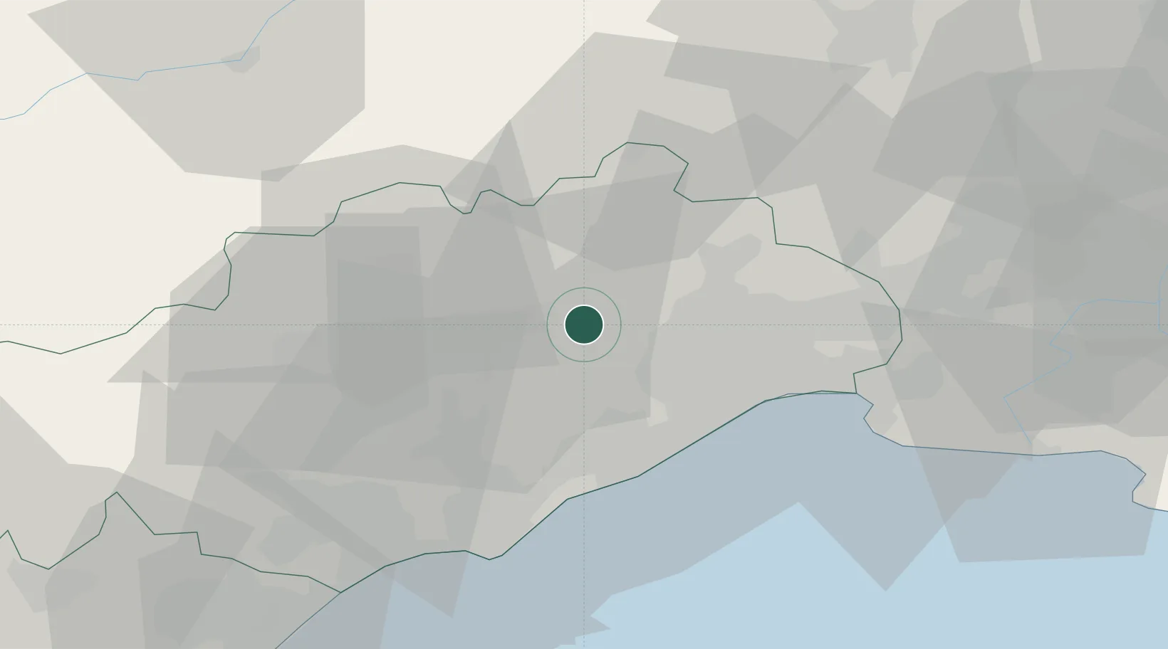
Location
Nearby Logistics Neighbours
Cities
- 1Argelliers5 km
- 2Vailhauquès5 km
- 3Puéchabon6 km
- 4Murviel-lès-Montpellier9 km
- 5Saint-Jean-de-Fos9 km
Ports
- 1Sete30 km
- 2Port-La-Nouvelle86 km
- 3Port Saint Louis Du Rhone99 km
- 4Fos103 km
- 5Port-de-Bouc112 km
Airports
Trade Zones
- 1ZFU Montpellier17 km
- 2ZFU Béziers51 km
- 3ZFU Nîmes59 km
- 4ZFU Avignon98 km
- 5ZFU Perpignan124 km
DatabookThe Record of Consolidated Knowledge
France beyond logistics?