Transport Functions
Port
Multimodal
Hub Profile
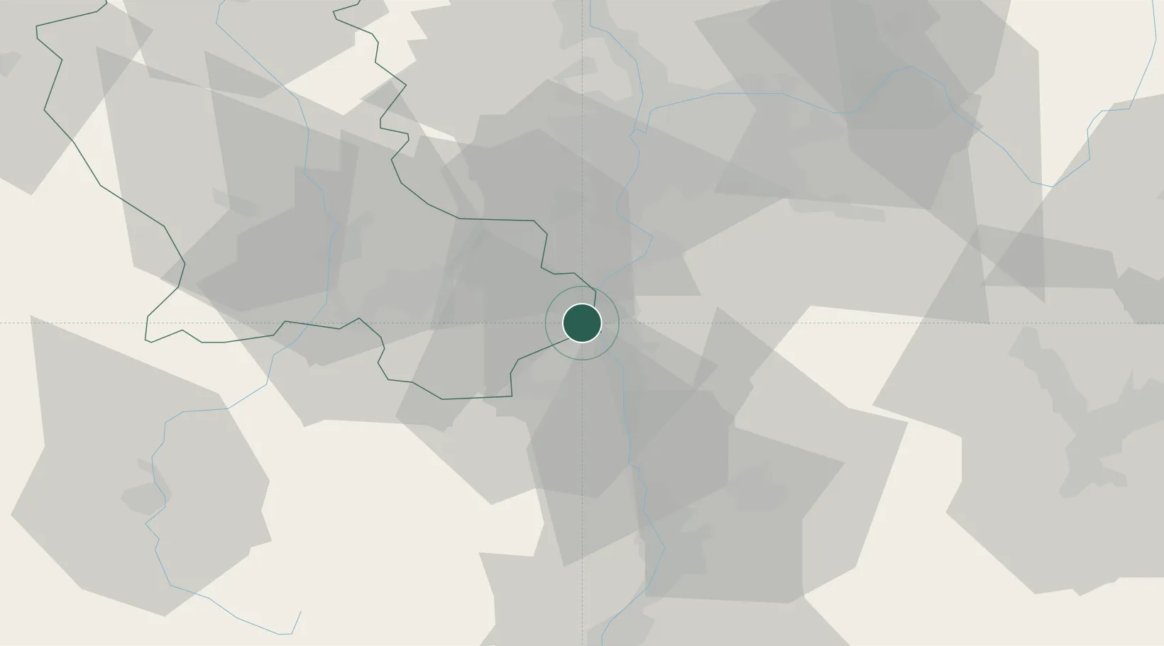
Place type
Populated place
Region
Rhône-Alpes
Population
490
Time zone
Europe/Paris
Elevation
274 m
Location
Nearby Logistics Neighbours
Cities
- 1Saint-Pierre-de-Buf2 km
- 2Chavanay4 km
- 3Saint-Maurice-l'Exil4 km
- 4Limony5 km
- 5Charnas6 km
Ports
- 1Fos219 km
- 2Port-de-Bouc221 km
- 3Port Saint Louis Du Rhone223 km
- 4Marseille235 km
- 5Sete235 km
Airports
Trade Zones
- 1ZFU Saint-Etienne34 km
- 2ZFU Vénissieux36 km
- 3ZFU Lyon 9e44 km
- 4ZFU Vaulx-en-Velin47 km
- 5ZFU Rillieux-la-Pape50 km
DatabookThe Record of Consolidated Knowledge
France beyond logistics?