Transport Functions
Road
Multimodal
Hub Profile
Place type
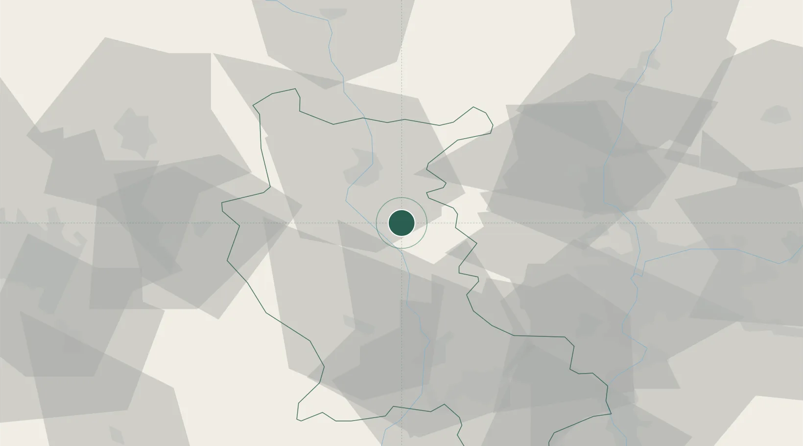
Populated place
Region
Rhône-Alpes
Population
1,177
Time zone
Europe/Paris
Elevation
547 m
Location
Nearby Logistics Neighbours
Cities
- 1Saint-Victor-sur-Rhins14 km
- 2Perreux16 km
- 3Violay16 km
- 4Saint-Jean-la-Bussière16 km
- 5Valsonne20 km
Ports
- 1Sete281 km
- 2Fos282 km
- 3Port Saint Louis Du Rhone284 km
- 4Port-de-Bouc285 km
- 5Marseille302 km
Airports
- 1Roanne-Renaison Airport22 km
- 2Saint-Étienne-Bouthéon Airport41 km
- 3Saint-Yan Airport59 km
- 4Lyon Bron Airport62 km
- 5Mâcon-Charnay Airfield65 km
Trade Zones
- 1ZFU Lyon 9e50 km
- 2ZFU Rillieux-la-Pape53 km
- 3ZFU Saint-Etienne54 km
- 4ZFU Vénissieux56 km
- 5ZFU Vaulx-en-Velin59 km
DatabookThe Record of Consolidated Knowledge
France beyond logistics?