Transport Functions
Multimodal
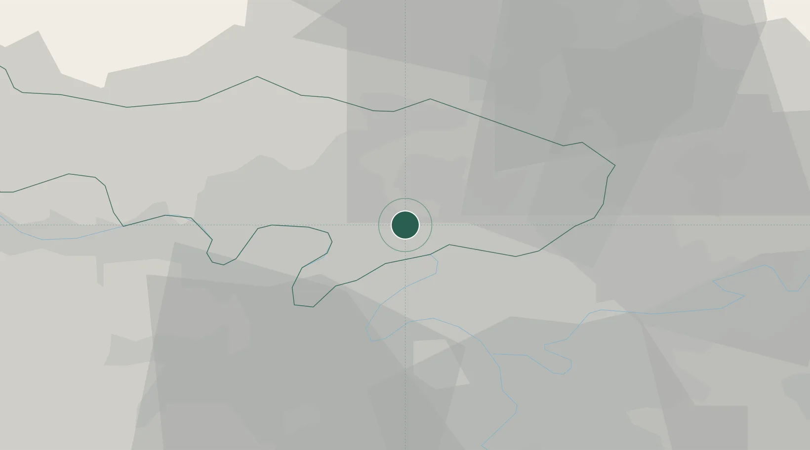
Hub Profile
Place type
Populated place
Region
Île-de-France
Population
2,751
Time zone
Europe/Paris
Elevation
70 m
Location
Nearby Logistics Neighbours
Cities
- 1Eaubonne0 km
- 2Montmorency3 km
- 3Franconville4 km
- 4Paris5 km
- 5Domont5 km
Ports
- 1Port Of Rouen102 km
- 2Dieppe135 km
- 3Le Treport136 km
- 4Saint-Valery-Sur-Somme140 km
- 5Honfleur157 km
Airports
Trade Zones
- 1ZFU Epinay-sur-Seine5 km
- 2ZFU Argenteuil7 km
- 3ZFU Villiers-le-Bel8 km
- 4ZFU Stains9 km
- 5ZFU Garges-lès-Gonesse et Sarcelles9 km
DatabookThe Record of Consolidated Knowledge
France beyond logistics?