UN/LOCODE hub · France
FR5PD

Porte-de-Savoie

45.5000°, 6.0167°
2
Transport functions

Transport Functions

Road
Multimodal
UN/LOCODE

Hub Profile

Region
73
GeoNames

Location

Location of FR5PD
Natural Earth 10m (public domain) · 73 · FR5PD · 45.50, 6.02GoogleOSMYandex

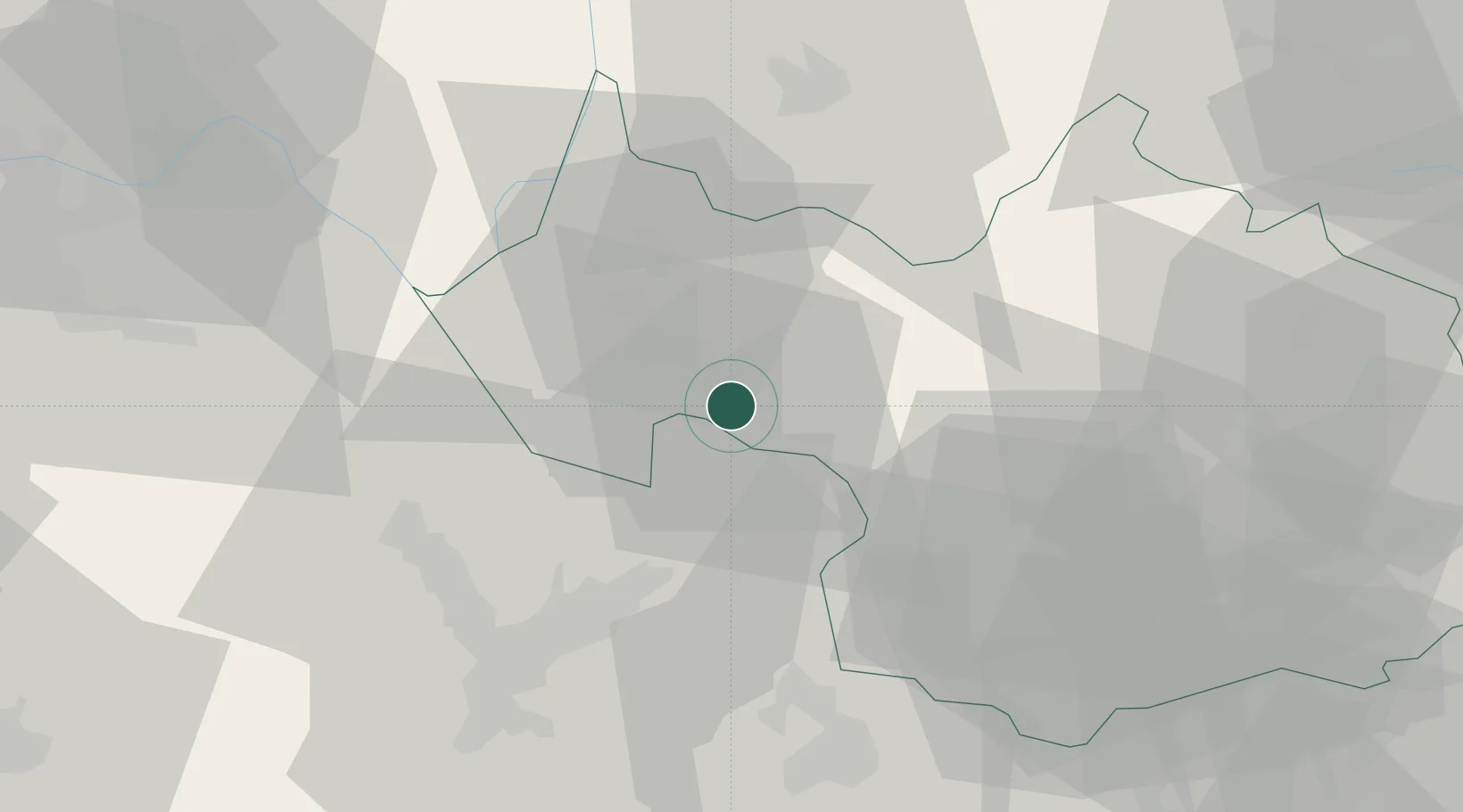
Nearby Logistics Neighbours

Cities
  1. 1Tormery2 km
  2. 2Chignin2 km
  3. 3Les Marches2 km
  4. 4Myans3 km
  5. 5Arbin4 km
Nearest neighbours — logibook spatial index (haversine) over the source coordinates
Ports
  1. 1Nice224 km
  2. 2Villefranche225 km
  3. 3Monaco226 km
  4. 4Antibes231 km
  5. 5Cannes231 km
Nearest neighbours — logibook spatial index (haversine) over the source coordinates
Airports
  1. 1Chambéry Aix les Bains airport19 km
  2. 2Annecy Meythet airport48 km
  3. 3Grenoble Alpes Isère Airport56 km
  4. 4Ambérieu Air Base (BA 278)76 km
  5. 5Lyon Saint-Exupéry Airport76 km
Nearest neighbours — logibook spatial index (haversine) over the source coordinates
Trade Zones
  1. 1ZFU Grenoble44 km
  2. 2Aosta Valley67 km
  3. 3Port Franc de Geneve77 km
  4. 4Geneva Freeport, La Praille, Geneva77 km
  5. 5Geneva Cointrin International Airport Free Port79 km
Nearest neighbours — logibook spatial index (haversine) over the source coordinates
DatabookThe Record of Consolidated Knowledge
France beyond logistics?
Browse databook

All Sources

LocationsUN/LOCODE
UN/LOCODE — free
Portsthe NGA World Port Index
Public domain (US gov)
AirportsOurAirports
Public domain
Trade Zonesthe World Bank SEZ database
CC BY 4.0
Trade ZonesOpen Zone Map
CC BY
← France locations