Transport Functions
Port
Road
Hub Profile
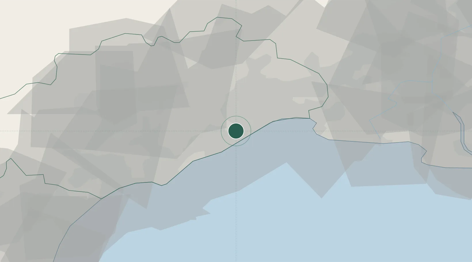
Place type
Populated place
Region
Occitanie
Population
3,413
Time zone
Europe/Paris
Elevation
18 m
Location
Nearby Logistics Neighbours
Cities
- 1Vic-la-Gardiole2 km
- 2Fabrègues6 km
- 3Cournonterral9 km
- 4Cournonsec9 km
- 5La Peyrade11 km
Ports
- 1Sete14 km
- 2Port-La-Nouvelle80 km
- 3Port Saint Louis Du Rhone83 km
- 4Fos88 km
- 5Port-de-Bouc96 km
Airports
Trade Zones
- 1ZFU Montpellier12 km
- 2ZFU Béziers51 km
- 3ZFU Nîmes57 km
- 4ZFU Avignon95 km
- 5ZFU Perpignan116 km
DatabookThe Record of Consolidated Knowledge
France beyond logistics?