Transport Functions
Multimodal
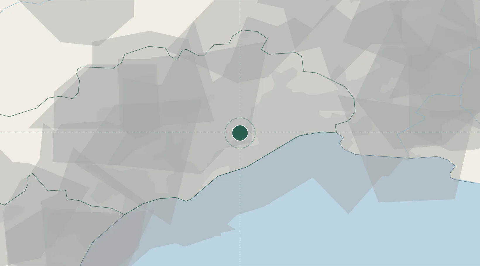
Hub Profile
Place type
Populated place
Region
Occitanie
Population
2,205
Time zone
Europe/Paris
Elevation
70 m
Logistics facilities
1
Location
Nearby Logistics Neighbours
Cities
- 1Cournonterral0 km
- 2Fabrègues4 km
- 3Murviel-lès-Montpellier7 km
- 4Poussan9 km
- 5Mireval9 km
Ports
- 1Sete17 km
- 2Port-La-Nouvelle79 km
- 3Port Saint Louis Du Rhone91 km
- 4Fos96 km
- 5Port-de-Bouc104 km
Airports
Trade Zones
- 1ZFU Montpellier12 km
- 2ZFU Béziers47 km
- 3ZFU Nîmes59 km
- 4ZFU Avignon98 km
- 5ZFU Perpignan116 km
DatabookThe Record of Consolidated Knowledge
France beyond logistics?