Transport Functions
Multimodal
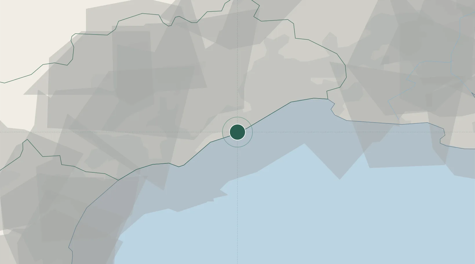
Hub Profile
Place type
Populated place
Region
Occitanie
Time zone
Europe/Paris
Elevation
8 m
Location
Nearby Logistics Neighbours
Cities
- 1Sète3 km
- 2Balaruc-les-Bains6 km
- 3Bouzigues8 km
- 4Poussan9 km
- 5Vic-la-Gardiole9 km
Ports
- 1Sete3 km
- 2Port-La-Nouvelle70 km
- 3Port Saint Louis Du Rhone88 km
- 4Fos93 km
- 5Port-de-Bouc101 km
Airports
Trade Zones
- 1ZFU Montpellier23 km
- 2ZFU Béziers43 km
- 3ZFU Nîmes67 km
- 4ZFU Avignon104 km
- 5ZFU Perpignan105 km
DatabookThe Record of Consolidated Knowledge
France beyond logistics?