Transport Functions
Road
Multimodal
Hub Profile
Place type
Populated place
Region
Rhône-Alpes
Population
1,077
Time zone
Europe/Paris
Elevation
794 m
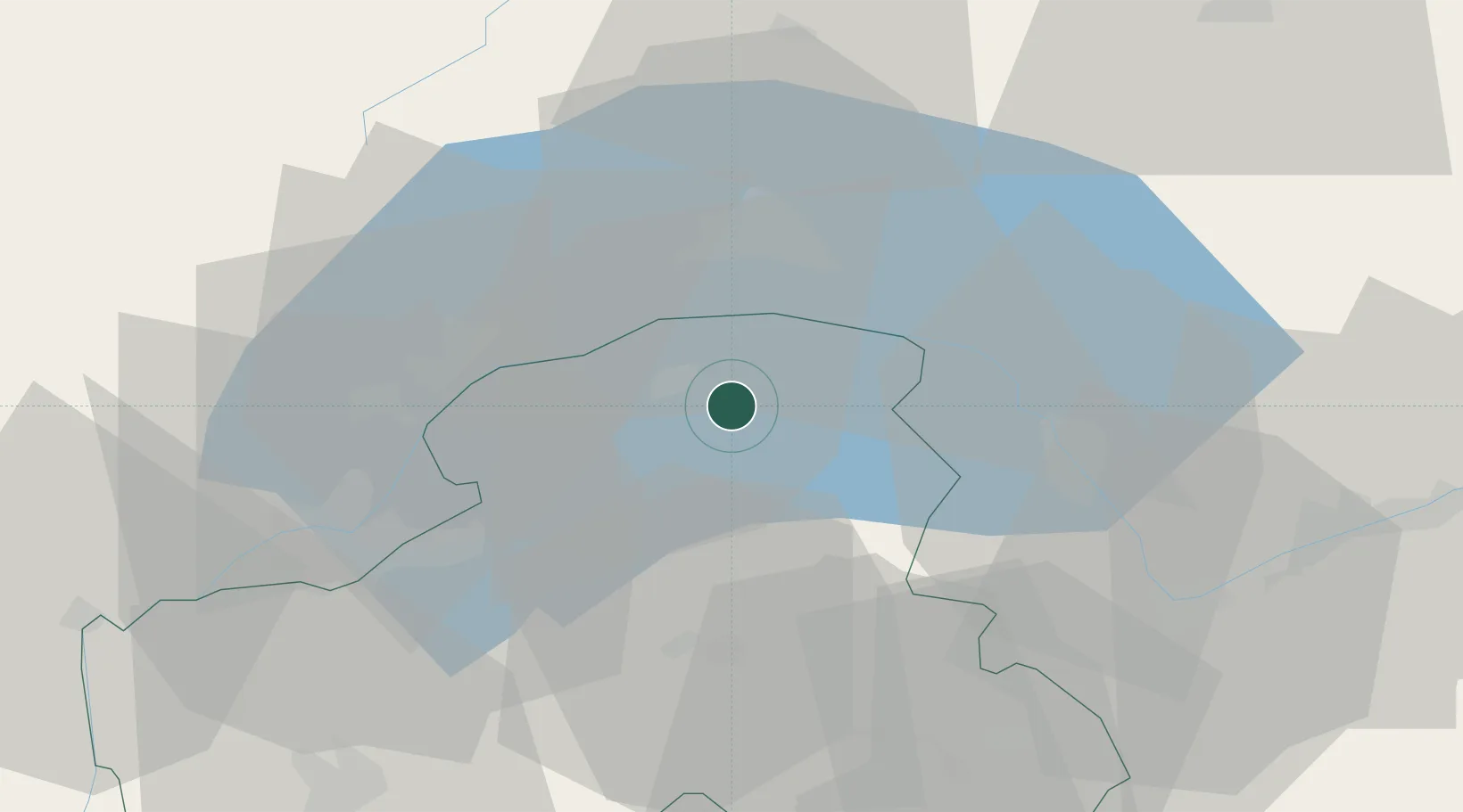
Location
Nearby Logistics Neighbours
Cities
- 1Marin5 km
- 2Thonon-les-Bains7 km
- 3Allinges8 km
- 4Lugrin10 km
- 5Sciez14 km
Ports
- 1Savona272 km
- 2Rada Di Vado275 km
- 3Genova285 km
- 4Imperia297 km
- 5San Remo298 km
Airports
- 1Annemasse Airfield29 km
- 2Geneva Cointrin International Airport37 km
- 3Annecy Meythet airport59 km
- 4Sion Airport60 km
- 5Payerne Air Base61 km
DatabookThe Record of Consolidated Knowledge
France beyond logistics?