UN/LOCODE hub · France
FRTHO
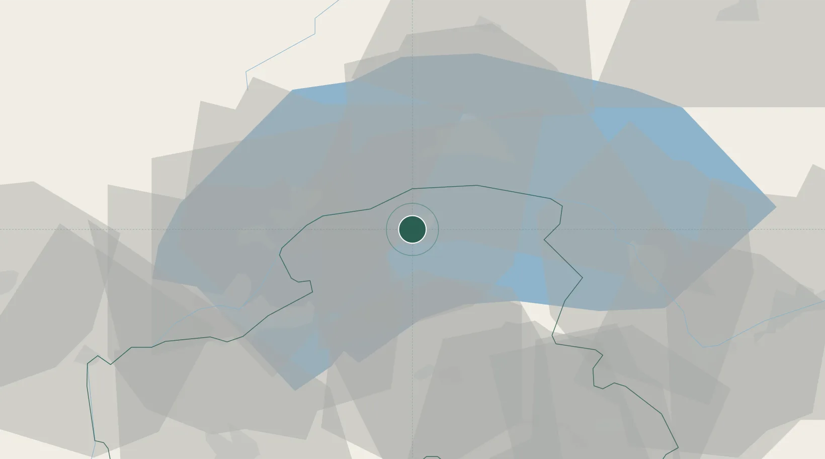
Thonon-les-Bains
46.3667°, 6.4833°
31,684
Population
1
Transport functions
Transport Functions
Rail
Hub Profile
Place type
District seat
Region
Rhône-Alpes
Population
31,684
Time zone
Europe/Paris
Elevation
436 m
Location
Nearby Logistics Neighbours
Ports
- 1Savona277 km
- 2Rada Di Vado280 km
- 3Genova290 km
- 4San Remo301 km
- 5Imperia302 km
Airports
- 1Annemasse Airfield26 km
- 2Geneva Cointrin International Airport32 km
- 3Annecy Meythet airport57 km
- 4Payerne Air Base62 km
- 5Sion Airport67 km
DatabookThe Record of Consolidated Knowledge
France beyond logistics?