Transport Functions
Road
Multimodal
Hub Profile
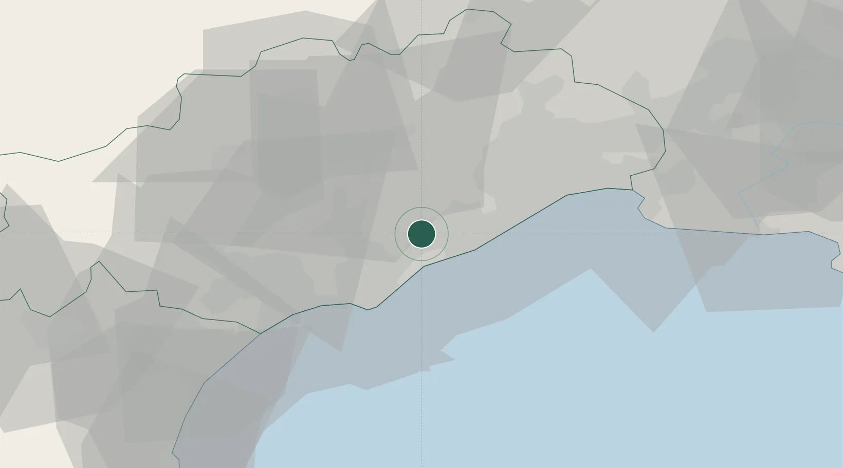
Place type
Populated place
Region
Occitanie
Population
1,664
Time zone
Europe/Paris
Elevation
31 m
Location
Nearby Logistics Neighbours
Cities
- 1Bouzigues3 km
- 2Balaruc-les-Bains5 km
- 3Poussan6 km
- 4Sète9 km
- 5La Peyrade10 km
Ports
- 1Sete9 km
- 2Port-La-Nouvelle66 km
- 3Port Saint Louis Du Rhone97 km
- 4Fos102 km
- 5Port-de-Bouc111 km
Airports
Trade Zones
- 1ZFU Montpellier25 km
- 2ZFU Béziers35 km
- 3ZFU Nîmes72 km
- 4ZFU Perpignan102 km
- 5ZFU Avignon110 km
DatabookThe Record of Consolidated Knowledge
France beyond logistics?