UN/LOCODE hub · France
FRBLF
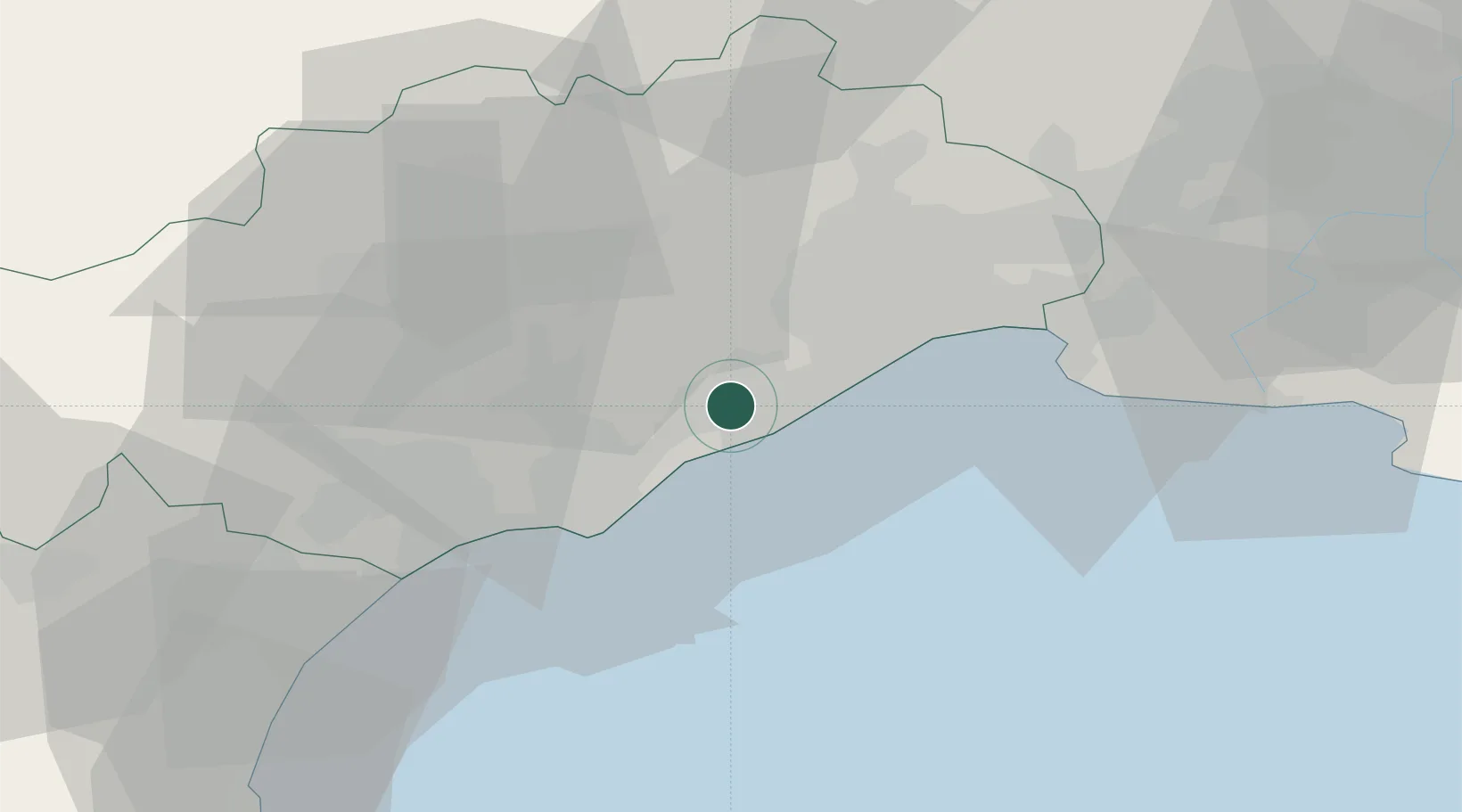
Balaruc-les-Bains
43.4500°, 3.6833°
6,387
Population
2
Transport functions
Transport Functions
Port
Road
Hub Profile
Place type
Populated place
Region
Occitanie
Population
6,387
Time zone
Europe/Paris
Elevation
4 m
Location
Nearby Logistics Neighbours
Cities
- 1Bouzigues3 km
- 2Poussan4 km
- 3Loupian5 km
- 4La Peyrade6 km
- 5Sète6 km
Ports
- 1Sete6 km
- 2Port-La-Nouvelle69 km
- 3Port Saint Louis Du Rhone92 km
- 4Fos97 km
- 5Port-de-Bouc105 km
Airports
Trade Zones
- 1ZFU Montpellier22 km
- 2ZFU Béziers40 km
- 3ZFU Nîmes68 km
- 4ZFU Perpignan105 km
- 5ZFU Avignon106 km
DatabookThe Record of Consolidated Knowledge
France beyond logistics?