Transport Functions
Port
Road
Hub Profile
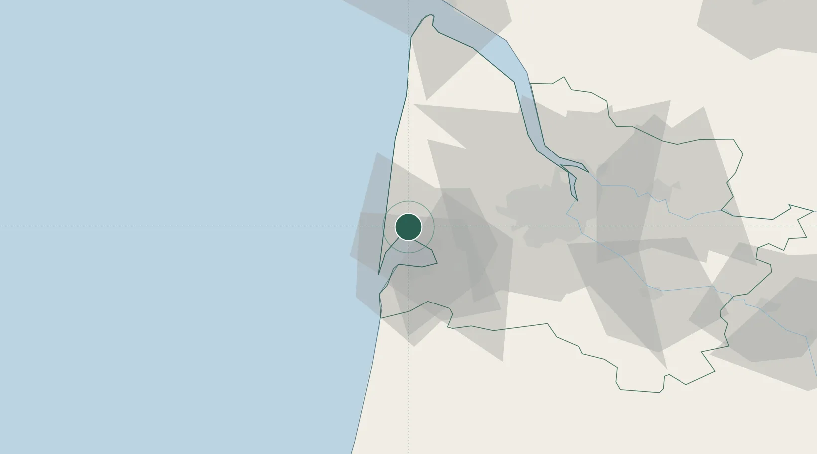
Place type
Populated place
Region
Nouvelle-Aquitaine
Time zone
Europe/Paris
Elevation
13 m
Location
Nearby Logistics Neighbours
Cities
- 1Arès4 km
- 2Andernos-les-Bains8 km
- 3Mouliets-et-Villemartin12 km
- 4Arcachon17 km
- 5La Teste-de-Buch19 km
Airports
Trade Zones
- 1ZFU Hauts de Garonne45 km
- 2Port de Bordeaux50 km
- 3ZFU La Rochelle152 km
- 4Depósito Franco de Pasajes (Guipúzcoa)176 km
- 5Depósito Franco de Bilbao222 km
DatabookThe Record of Consolidated Knowledge
France beyond logistics?