Transport Functions
Rail
Road
Hub Profile
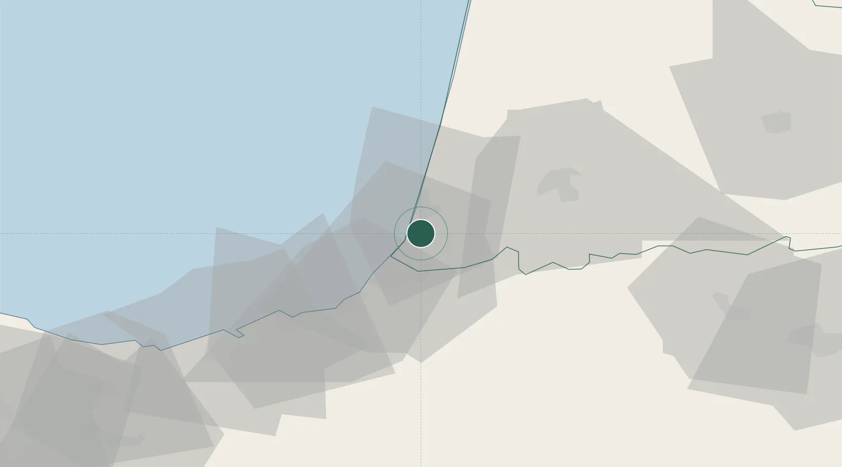
Place type
Populated place
Region
Nouvelle-Aquitaine
Population
3,633
Time zone
Europe/Paris
Elevation
11 m
Location
Nearby Logistics Neighbours
Ports
- 1Bayonne11 km
- 2Puerto De Pasajes50 km
- 3Bermeo106 km
- 4Puerto De Bilbao133 km
- 5Bordeaux157 km
Airports
- 1Biarritz Pays Basque airport16 km
- 2San Sebastián Airport40 km
- 3Mont-de-Marsan (BA 118) Air Base82 km
- 4Pau Pyrénées Airport85 km
- 5Pamplona Airport94 km
Trade Zones
- 1Depósito Franco de Pasajes (Guipúzcoa)50 km
- 2Depósito Franco de Bilbao133 km
- 3ZFU Hauts de Garonne153 km
- 4Port de Bordeaux162 km
- 5Zona Franca de Santander193 km
DatabookThe Record of Consolidated Knowledge
France beyond logistics?