Transport Functions
Port
Hub Profile
Place type
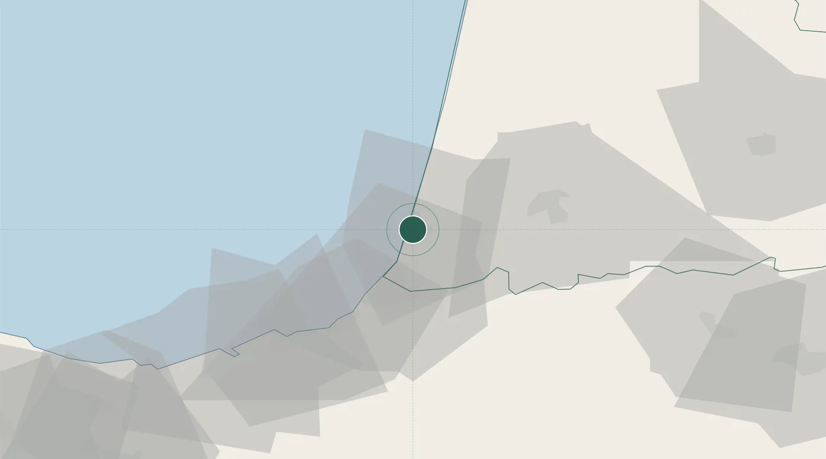
Populated place
Region
Nouvelle-Aquitaine
Time zone
Europe/Paris
Elevation
19 m
Location
Nearby Logistics Neighbours
Ports
- 1Bayonne19 km
- 2Puerto De Pasajes55 km
- 3Bermeo107 km
- 4Puerto De Bilbao135 km
- 5Bordeaux150 km
Airports
Trade Zones
- 1Depósito Franco de Pasajes (Guipúzcoa)55 km
- 2Depósito Franco de Bilbao135 km
- 3ZFU Hauts de Garonne146 km
- 4Port de Bordeaux156 km
- 5Zona Franca de Santander193 km
DatabookThe Record of Consolidated Knowledge
France beyond logistics?