Transport Functions
Port
Rail
Road
Hub Profile
Place type
Populated place
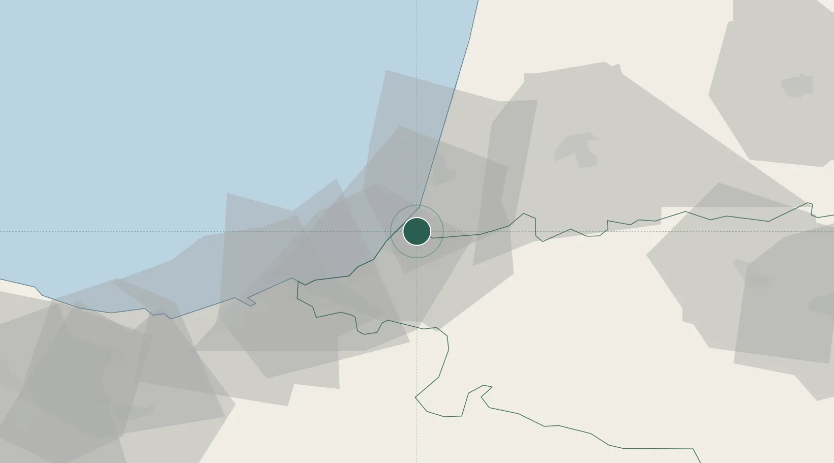
Region
Nouvelle-Aquitaine
Population
7,532
Time zone
Europe/Paris
Elevation
34 m
Location
Nearby Logistics Neighbours
Cities
- 1Bayonne2 km
- 2Tarnos2 km
- 3Biarritz7 km
- 4Ondres7 km
- 5Bassussarry8 km
Ports
- 1Bayonne2 km
- 2Puerto De Pasajes42 km
- 3Bermeo100 km
- 4Puerto De Bilbao128 km
- 5Bordeaux167 km
Airports
Trade Zones
- 1Depósito Franco de Pasajes (Guipúzcoa)42 km
- 2Depósito Franco de Bilbao127 km
- 3ZFU Hauts de Garonne163 km
- 4Port de Bordeaux172 km
- 5Zona Franca de Santander188 km
DatabookThe Record of Consolidated Knowledge
France beyond logistics?