Transport Functions
Multimodal
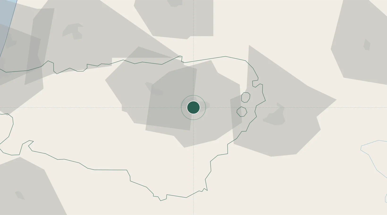
Hub Profile
Place type
Populated place
Region
Nouvelle-Aquitaine
Population
7,041
Time zone
Europe/Paris
Elevation
178 m
Location
Nearby Logistics Neighbours
Cities
- 1Pau1 km
- 2Bizanos3 km
- 3Lescar5 km
- 4Idron-Ousse-Sendets7 km
- 5Uzein12 km
Ports
- 1Bayonne90 km
- 2Puerto De Pasajes126 km
- 3Bordeaux175 km
- 4Bermeo189 km
- 5Ambes191 km
Airports
Trade Zones
- 1Depósito Franco de Pasajes (Guipúzcoa)125 km
- 2ZFU Toulouse151 km
- 3ZFU Hauts de Garonne171 km
- 4Port de Bordeaux179 km
- 5Depósito Franco de Zaragoza187 km
DatabookThe Record of Consolidated Knowledge
France beyond logistics?