Transport Functions
Multimodal
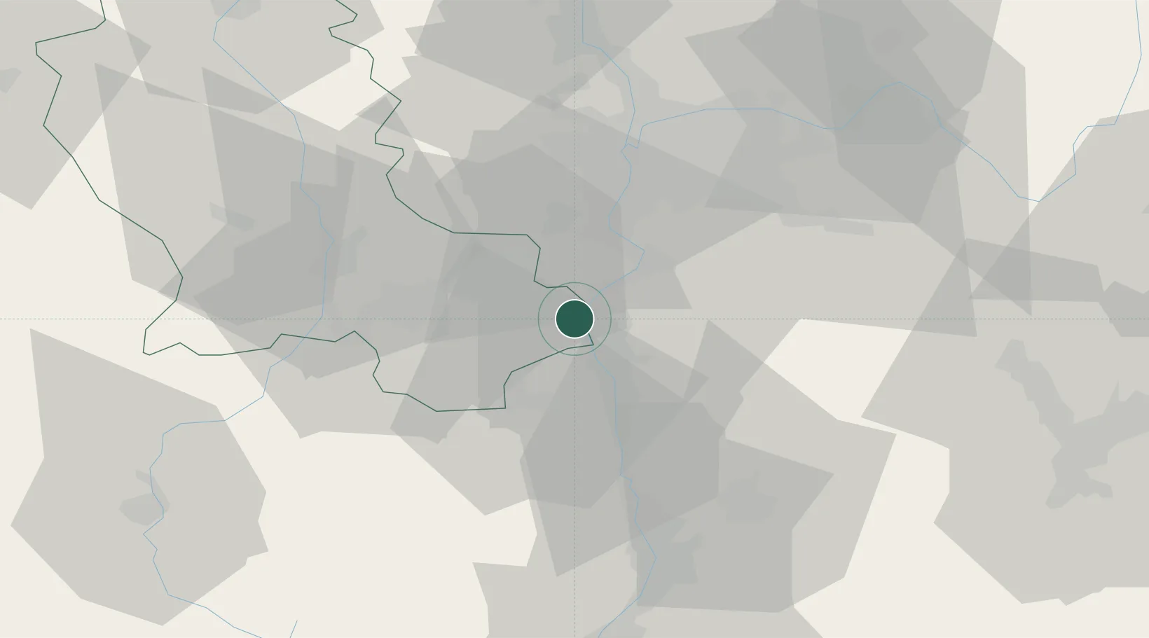
Hub Profile
Place type
Populated place
Region
Rhône-Alpes
Population
2,330
Time zone
Europe/Paris
Elevation
261 m
Location
Nearby Logistics Neighbours
Cities
- 1Malleval4 km
- 2Vérin4 km
- 3Saint-Maurice-l'Exil4 km
- 4Les Roches-de-Condrieu5 km
- 5Saint-Pierre-de-Buf6 km
Ports
- 1Fos223 km
- 2Port-de-Bouc225 km
- 3Port Saint Louis Du Rhone226 km
- 4Sete239 km
- 5Marseille239 km
Airports
Trade Zones
- 1ZFU Vénissieux33 km
- 2ZFU Saint-Etienne34 km
- 3ZFU Lyon 9e40 km
- 4ZFU Vaulx-en-Velin43 km
- 5ZFU Rillieux-la-Pape47 km
DatabookThe Record of Consolidated Knowledge
France beyond logistics?