Transport Functions
Port
Road
Hub Profile
Place type
Populated place
Region
Bourgogne
Population
534
Time zone
Europe/Paris
Elevation
180 m
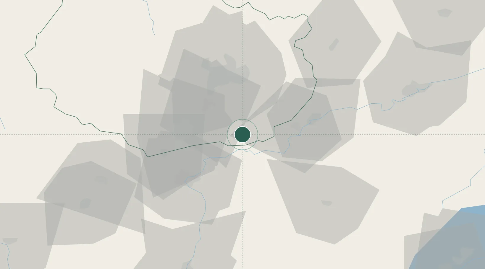
Location
Nearby Logistics Neighbours
Cities
- 1Pouilly-sur-Saône3 km
- 2Lechâtelet4 km
- 3Seurre4 km
- 4Trugny4 km
- 5Glanon4 km
Ports
- 1Savona397 km
- 2Rada Di Vado399 km
- 3Fos401 km
- 4Port-de-Bouc402 km
- 5Nice405 km
Airports
- 1Dole Tavaux Airport21 km
- 2Dijon Longvic airport28 km
- 3Mâcon-Charnay Airfield85 km
- 4Vesoul-Frotey Airfield105 km
- 5Saint-Yan Airport110 km
Trade Zones
DatabookThe Record of Consolidated Knowledge
France beyond logistics?