UN/LOCODE hub · France
FRFAX

Boncourt-le-Bois

47.1333°, 5.0000°
219
Population
2
Transport functions

Transport Functions

Port
Multimodal
UN/LOCODE

Hub Profile

Place type
Populated place
GeoNames
Region
Bourgogne
GeoNames
Population
219
GeoNames
Time zone
Europe/Paris
GeoNames
Elevation
223 m
GeoNames

Location

Location of FRFAX
Natural Earth 10m (public domain) · Bourgogne · FRFAX · 47.13, 5.00GoogleOSMYandex

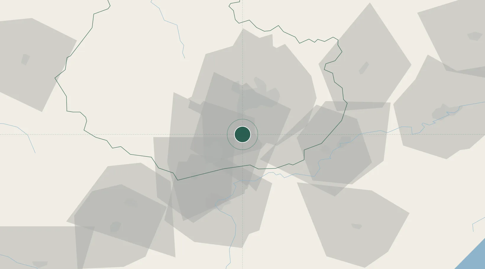
Nearby Logistics Neighbours

Cities
  1. 1Gerland4 km
  2. 2Gilly-lès-Cîteaux4 km
  3. 3Flagey-Echézeaux4 km
  4. 4Vougeot5 km
  5. 5Chambolle-Musigny7 km
Nearest neighbours — logibook spatial index (haversine) over the source coordinates
Ports
  1. 1Port Of Rouen389 km
  2. 2Fos413 km
  3. 3Savona415 km
  4. 4Port-de-Bouc415 km
  5. 5Rada Di Vado417 km
Nearest neighbours — logibook spatial index (haversine) over the source coordinates
Airports
  1. 1Dijon Longvic airport17 km
  2. 2Dole Tavaux Airport34 km
  3. 3Mâcon-Charnay Airfield95 km
  4. 4Vesoul-Frotey Airfield107 km
  5. 5Saint-Yan Airport110 km
Nearest neighbours — logibook spatial index (haversine) over the source coordinates
Trade Zones
  1. 1ZFU Chenôve18 km
  2. 2ZFU Besancon77 km
  3. 3PESA - Port-Franc et Entrepôts de Lausanne-Chavornay SA128 km
  4. 4Geneva Cointrin International Airport Free Port132 km
  5. 5Port Franc de Geneve134 km
Nearest neighbours — logibook spatial index (haversine) over the source coordinates
DatabookThe Record of Consolidated Knowledge
France beyond logistics?
Browse databook

All Sources

LocationsUN/LOCODE
UN/LOCODE — free
LocationsGeoNames
CC BY 4.0
Portsthe NGA World Port Index
Public domain (US gov)
AirportsOurAirports
Public domain
Trade Zonesthe World Bank SEZ database
CC BY 4.0
Trade ZonesOpen Zone Map
CC BY
← France locations