UN/LOCODE hub · France
FRENX

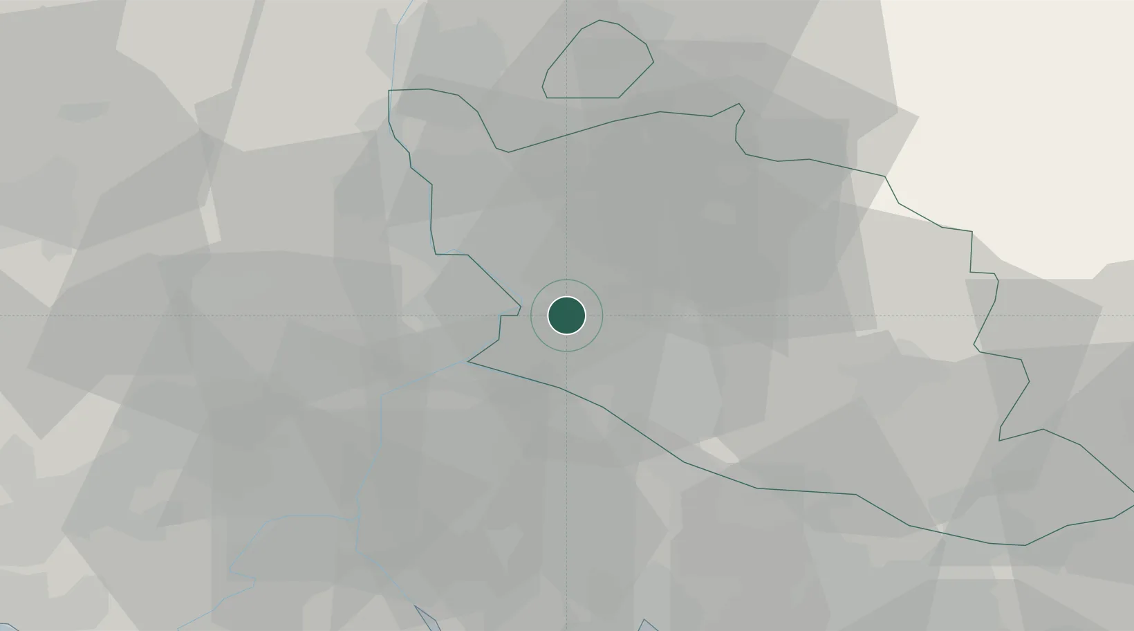
Entraigues-sur-la-Sorgue

44.0000°, 4.9167°
7,206
Population
2
Transport functions

Transport Functions

Rail
Road
UN/LOCODE

Hub Profile

Place type
Populated place
GeoNames
Region
Provence-Alpes-Côte d'Azur
GeoNames
Population
7,206
GeoNames
Time zone
Europe/Paris
GeoNames
Elevation
36 m
GeoNames

Location

Location of FRENX
Natural Earth 10m (public domain) · Provence-Alpes-Côte d'Azur · FRENX · 44.00, 4.92GoogleOSMYandex

Nearby Logistics Neighbours

Cities
  1. 1Bédarrides4 km
  2. 2Sorgues4 km
  3. 3Jonquerettes6 km
  4. 4Le Pontet7 km
  5. 5Châteauneuf-de-Gadagne8 km
Nearest neighbours — logibook spatial index (haversine) over the source coordinates
Ports
  1. 1Fos65 km
  2. 2Port-de-Bouc67 km
  3. 3Port Saint Louis Du Rhone69 km
  4. 4Marseille84 km
  5. 5Sete118 km
Nearest neighbours — logibook spatial index (haversine) over the source coordinates
Airports
  1. 1Avignon Caumont airport10 km
  2. 2Orange-Caritat (BA 115) Air Base16 km
  3. 3Salon-de-Provence (BA 701) Air Base46 km
  4. 4Nîmes-Arles-Camargue Airport48 km
  5. 5Istres-Le Tubé Air Base53 km
Nearest neighbours — logibook spatial index (haversine) over the source coordinates
Trade Zones
  1. 1ZFU Avignon11 km
  2. 2ZFU Nîmes50 km
  3. 3ZFU Marseille 15e et 16e83 km
  4. 4ZFU Saint-Barthélémy, Le Canet, Delorme-Paternelle84 km
  5. 5ZFU Montpellier97 km
Nearest neighbours — logibook spatial index (haversine) over the source coordinates
DatabookThe Record of Consolidated Knowledge
France beyond logistics?
Browse databook

All Sources

LocationsUN/LOCODE
UN/LOCODE — free
LocationsGeoNames
CC BY 4.0
Portsthe NGA World Port Index
Public domain (US gov)
AirportsOurAirports
Public domain
Trade Zonesthe World Bank SEZ database
CC BY 4.0
Trade ZonesOpen Zone Map
CC BY
← France locations