Transport Functions
Road
Multimodal
Hub Profile
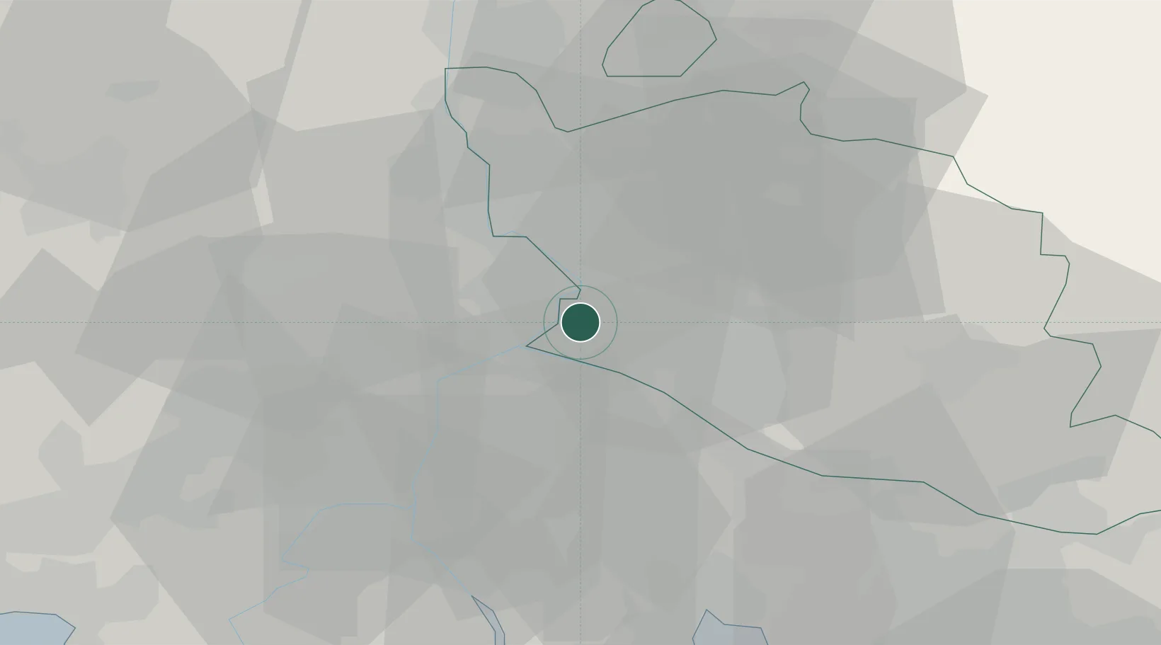
Place type
Populated place
Region
Provence-Alpes-Côte d'Azur
Population
16,182
Time zone
Europe/Paris
Elevation
25 m
Location
Nearby Logistics Neighbours
Cities
- 1Sorgues4 km
- 2Avignon4 km
- 3Villeneuve-lès-Avignon6 km
- 4Entraigues-sur-la-Sorgue7 km
- 5Les Angles7 km
Ports
- 1Fos61 km
- 2Port-de-Bouc64 km
- 3Port Saint Louis Du Rhone65 km
- 4Marseille83 km
- 5Sete112 km
Airports
Trade Zones
- 1ZFU Avignon4 km
- 2ZFU Nîmes44 km
- 3ZFU Marseille 15e et 16e82 km
- 4ZFU Saint-Barthélémy, Le Canet, Delorme-Paternelle83 km
- 5ZFU Montpellier90 km
DatabookThe Record of Consolidated Knowledge
France beyond logistics?