UN/LOCODE hub · France
FREFR

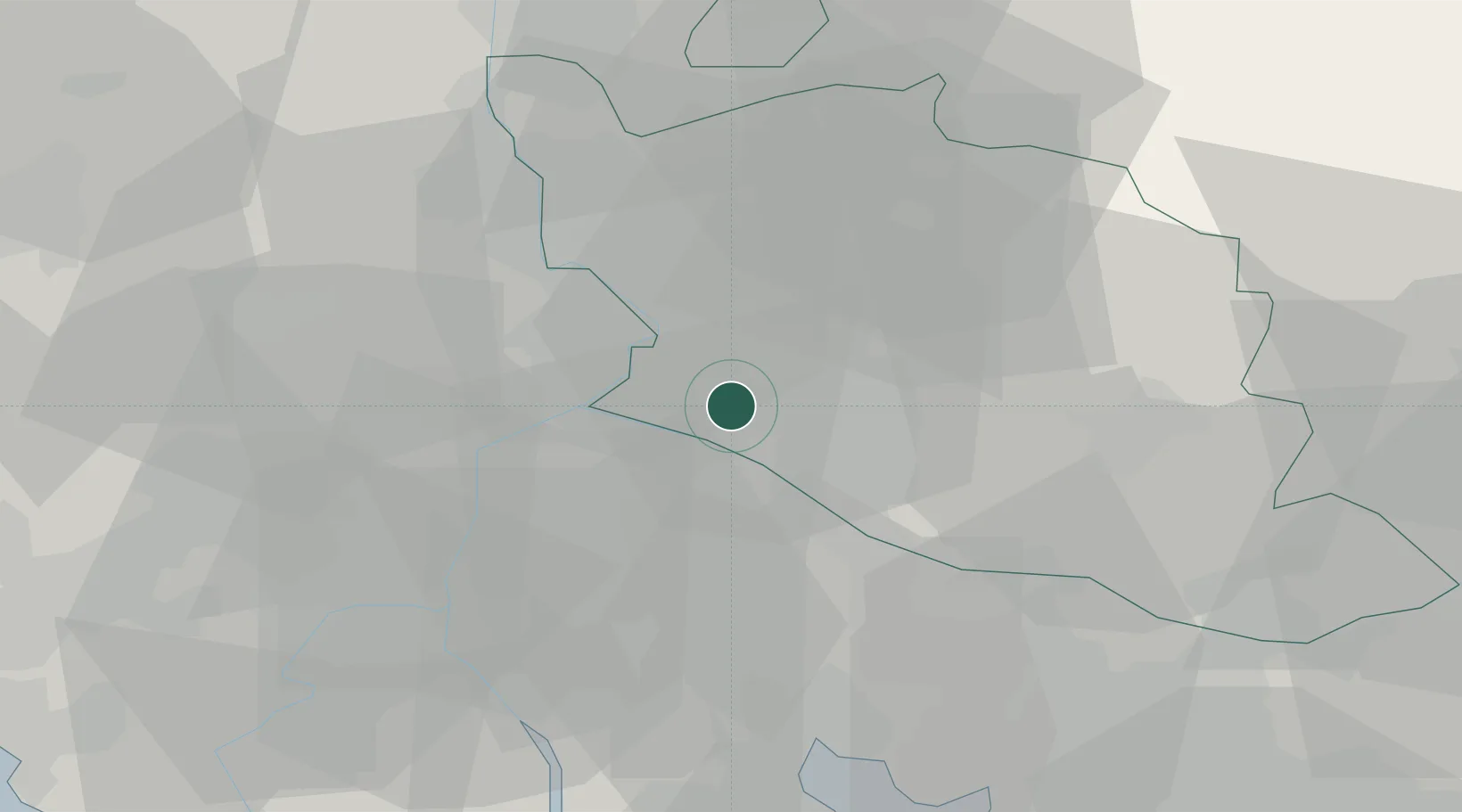
Châteauneuf-de-Gadagne

43.9333°, 4.9333°
3,029
Population
2
Transport functions

Transport Functions

Port
Multimodal
UN/LOCODE

Hub Profile

Place type
Populated place
GeoNames
Region
Provence-Alpes-Côte d'Azur
GeoNames
Population
3,029
GeoNames
Time zone
Europe/Paris
GeoNames
Elevation
76 m
GeoNames

Location

Location of FREFR
Natural Earth 10m (public domain) · Provence-Alpes-Côte d'Azur · FREFR · 43.93, 4.93GoogleOSMYandex

Nearby Logistics Neighbours

Cities
  1. 1Jonquerettes2 km
  2. 2Entraigues-sur-la-Sorgue8 km
  3. 3Le Pontet8 km
  4. 4Velleron8 km
  5. 5Sorgues9 km
Nearest neighbours — logibook spatial index (haversine) over the source coordinates
Ports
  1. 1Fos58 km
  2. 2Port-de-Bouc59 km
  3. 3Port Saint Louis Du Rhone62 km
  4. 4Marseille77 km
  5. 5Sete116 km
Nearest neighbours — logibook spatial index (haversine) over the source coordinates
Airports
  1. 1Avignon Caumont airport4 km
  2. 2Orange-Caritat (BA 115) Air Base24 km
  3. 3Salon-de-Provence (BA 701) Air Base39 km
  4. 4Istres-Le Tubé Air Base46 km
  5. 5Nîmes-Arles-Camargue Airport46 km
Nearest neighbours — logibook spatial index (haversine) over the source coordinates
Trade Zones
  1. 1ZFU Avignon11 km
  2. 2ZFU Nîmes49 km
  3. 3ZFU Marseille 15e et 16e75 km
  4. 4ZFU Saint-Barthélémy, Le Canet, Delorme-Paternelle77 km
  5. 5ZFU Montpellier95 km
Nearest neighbours — logibook spatial index (haversine) over the source coordinates
DatabookThe Record of Consolidated Knowledge
France beyond logistics?
Browse databook

All Sources

LocationsUN/LOCODE
UN/LOCODE — free
LocationsGeoNames
CC BY 4.0
Portsthe NGA World Port Index
Public domain (US gov)
AirportsOurAirports
Public domain
Trade Zonesthe World Bank SEZ database
CC BY 4.0
Trade ZonesOpen Zone Map
CC BY
← France locations