Transport Functions
Multimodal
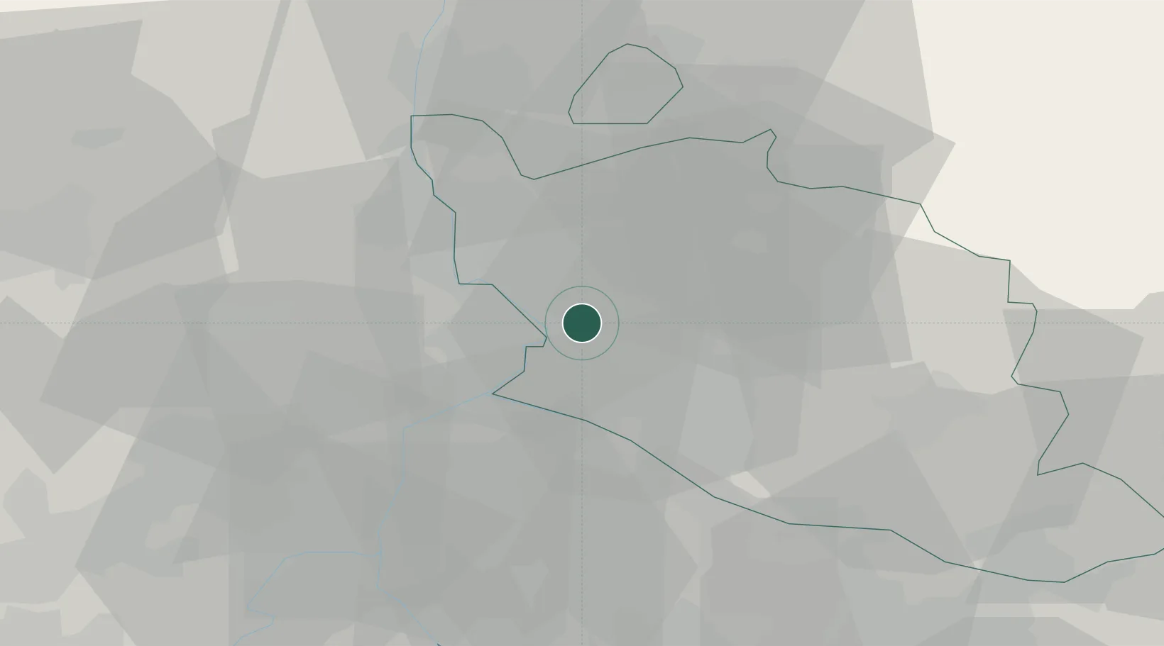
Hub Profile
Place type
Populated place
Region
Provence-Alpes-Côte d'Azur
Population
5,014
Time zone
Europe/Paris
Elevation
29 m
Location
Nearby Logistics Neighbours
Cities
- 1Entraigues-sur-la-Sorgue4 km
- 2Sorgues5 km
- 3Le Pontet8 km
- 4Jonquières9 km
- 5Jonquerettes10 km
Ports
- 1Fos69 km
- 2Port-de-Bouc71 km
- 3Port Saint Louis Du Rhone73 km
- 4Marseille88 km
- 5Sete119 km
Airports
Trade Zones
- 1ZFU Avignon12 km
- 2ZFU Nîmes50 km
- 3ZFU Marseille 15e et 16e86 km
- 4ZFU Saint-Barthélémy, Le Canet, Delorme-Paternelle88 km
- 5ZFU Montpellier97 km
DatabookThe Record of Consolidated Knowledge
France beyond logistics?