UN/LOCODE hub · France
FRYCM

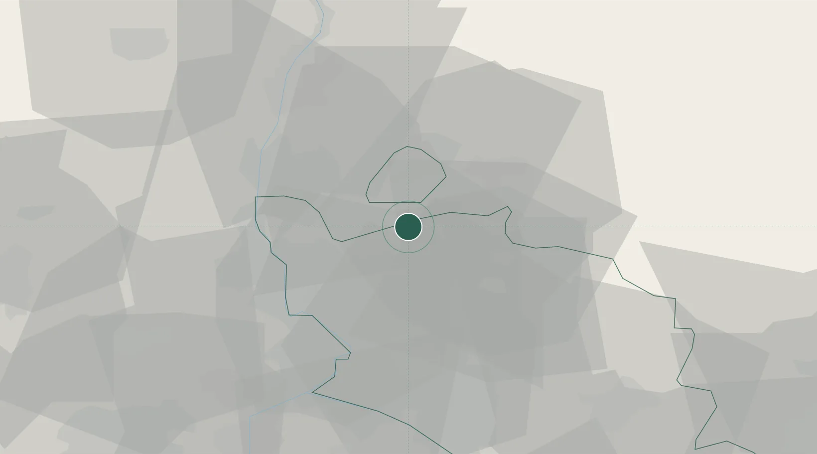
Saint-Roman-de-Malegarde

44.2667°, 4.9667°
271
Population
1
Transport functions

Transport Functions

Multimodal
UN/LOCODE

Hub Profile

Place type
Populated place
GeoNames
Region
Provence-Alpes-Côte d'Azur
GeoNames
Population
271
GeoNames
Time zone
Europe/Paris
GeoNames
Elevation
173 m
GeoNames

Location

Location of FRYCM
Natural Earth 10m (public domain) · Provence-Alpes-Côte d'Azur · FRYCM · 44.27, 4.97GoogleOSMYandex

Nearby Logistics Neighbours

Cities
  1. 1Buisson3 km
  2. 2Roaix4 km
  3. 3Villedieu6 km
  4. 4Séguret8 km
  5. 5Sablet10 km
Nearest neighbours — logibook spatial index (haversine) over the source coordinates
Ports
  1. 1Fos95 km
  2. 2Port-de-Bouc96 km
  3. 3Port Saint Louis Du Rhone99 km
  4. 4Marseille110 km
  5. 5Sete140 km
Nearest neighbours — logibook spatial index (haversine) over the source coordinates
Airports
  1. 1Orange-Caritat (BA 115) Air Base16 km
  2. 2Avignon Caumont airport40 km
  3. 3Aubenas-South Ardèche Airport56 km
  4. 4Aérodrome d'Alès Cévennes69 km
  5. 5Nîmes-Arles-Camargue Airport72 km
Nearest neighbours — logibook spatial index (haversine) over the source coordinates
Trade Zones
  1. 1ZFU Avignon38 km
  2. 2ZFU Nîmes70 km
  3. 3ZFU Valence74 km
  4. 4ZFU Marseille 15e et 16e109 km
  5. 5ZFU Saint-Barthélémy, Le Canet, Delorme-Paternelle112 km
Nearest neighbours — logibook spatial index (haversine) over the source coordinates
DatabookThe Record of Consolidated Knowledge
France beyond logistics?
Browse databook

All Sources

LocationsUN/LOCODE
UN/LOCODE — free
LocationsGeoNames
CC BY 4.0
Portsthe NGA World Port Index
Public domain (US gov)
AirportsOurAirports
Public domain
Trade Zonesthe World Bank SEZ database
CC BY 4.0
Trade ZonesOpen Zone Map
CC BY
← France locations