UN/LOCODE hub · France
FRSD8
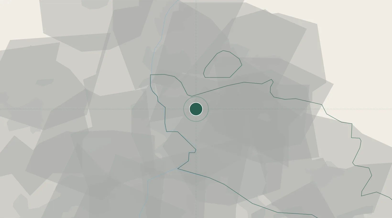
Sérignan-du-Comtat
44.1833°, 4.8500°
2,388
Population
2
Transport functions
Transport Functions
Road
Multimodal
Hub Profile
Place type
Populated place
Region
Provence-Alpes-Côte d'Azur
Population
2,388
Time zone
Europe/Paris
Elevation
81 m
Location
Nearby Logistics Neighbours
Cities
- 1Travaillan4 km
- 2Orange6 km
- 3Rochegude8 km
- 4Jonquières8 km
- 5Sablet12 km
Ports
- 1Fos85 km
- 2Port-de-Bouc88 km
- 3Port Saint Louis Du Rhone89 km
- 4Marseille105 km
- 5Sete127 km
Airports
Trade Zones
- 1ZFU Avignon26 km
- 2ZFU Nîmes57 km
- 3ZFU Valence82 km
- 4ZFU Montpellier103 km
- 5ZFU Marseille 15e et 16e103 km
DatabookThe Record of Consolidated Knowledge
France beyond logistics?