Transport Functions
Multimodal
Hub Profile
Place type
Populated place
Region
Provence-Alpes-Côte d'Azur
Population
3,028
Time zone
Europe/Paris
Elevation
65 m
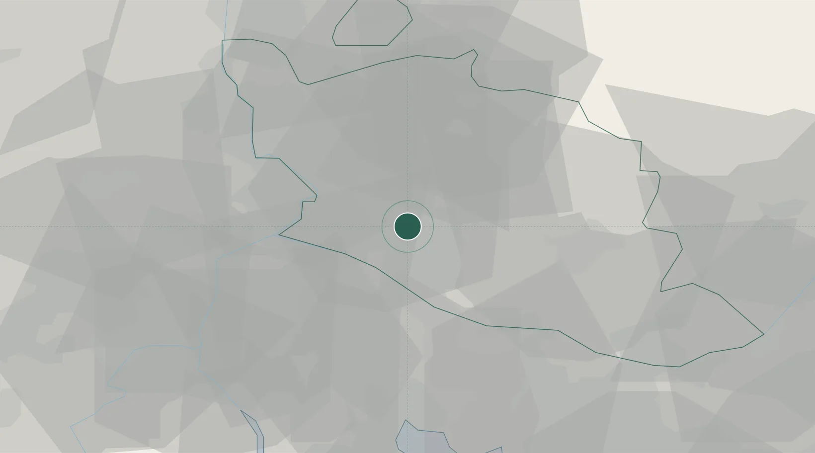
Location
Nearby Logistics Neighbours
Cities
- 1L'Isle-sur-la-Sorgue4 km
- 2La Roque-sur-Pernes7 km
- 3Jonquerettes8 km
- 4Châteauneuf-de-Gadagne8 km
- 5Fontaine-de-Vaucluse9 km
Ports
- 1Fos61 km
- 2Port-de-Bouc61 km
- 3Port Saint Louis Du Rhone65 km
- 4Marseille75 km
- 5Toulon118 km
Airports
Trade Zones
- 1ZFU Avignon18 km
- 2ZFU Nîmes57 km
- 3ZFU Marseille 15e et 16e74 km
- 4ZFU Saint-Barthélémy, Le Canet, Delorme-Paternelle76 km
- 5ZFU Montpellier103 km
DatabookThe Record of Consolidated Knowledge
France beyond logistics?