UN/LOCODE hub · France
FREDQ

Dardenac

44.7833°, -0.2333°
64
Population
1
Transport functions

Transport Functions

Multimodal
UN/LOCODE

Hub Profile

Place type
Populated place
GeoNames
Region
Nouvelle-Aquitaine
GeoNames
Population
64
GeoNames
Time zone
Europe/Paris
GeoNames
Elevation
57 m
GeoNames

Location

Location of FREDQ
Natural Earth 10m (public domain) · Nouvelle-Aquitaine · FREDQ · 44.78, -0.23GoogleOSMYandex

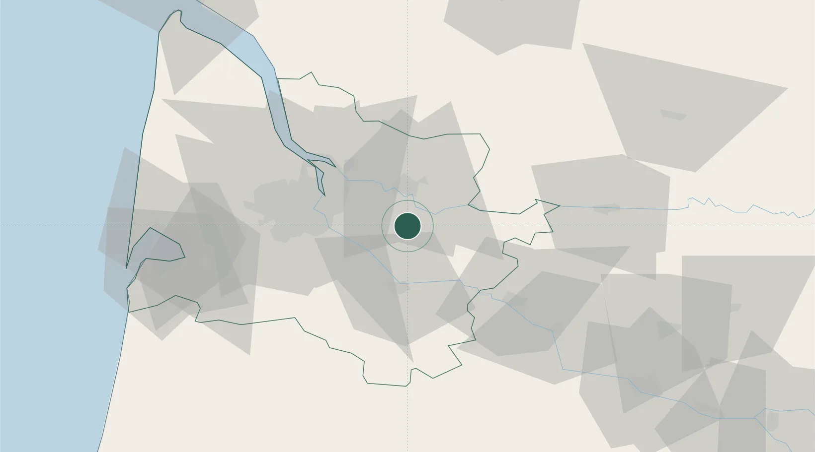
Nearby Logistics Neighbours

Cities
  1. 1Faleyras2 km
  2. 2Camiac-et-Saint-Denis3 km
  3. 3Espiet3 km
  4. 4Tizac-de-Curton4 km
  5. 5Romagne4 km
Nearest neighbours — logibook spatial index (haversine) over the source coordinates
Ports
  1. 1Bordeaux28 km
  2. 2Ambes35 km
  3. 3Blaye52 km
  4. 4Pauillac62 km
  5. 5Le Verdon107 km
Nearest neighbours — logibook spatial index (haversine) over the source coordinates
Airports
  1. 1Bordeaux–Mérignac Airport38 km
  2. 2Bergerac Dordogne-Périgord airport60 km
  3. 3Aérodrome d'Arcachon-La Teste-de-Buch72 km
  4. 4Cazaux (BA 120) Air Base76 km
  5. 5Agen La Garenne airport94 km
Nearest neighbours — logibook spatial index (haversine) over the source coordinates
Trade Zones
  1. 1ZFU Hauts de Garonne28 km
  2. 2Port de Bordeaux28 km
  3. 3ZFU La Rochelle171 km
  4. 4ZFU Toulouse187 km
  5. 5Depósito Franco de Pasajes (Guipúzcoa)211 km
Nearest neighbours — logibook spatial index (haversine) over the source coordinates
DatabookThe Record of Consolidated Knowledge
France beyond logistics?
Browse databook

All Sources

LocationsUN/LOCODE
UN/LOCODE — free
LocationsGeoNames
CC BY 4.0
Portsthe NGA World Port Index
Public domain (US gov)
AirportsOurAirports
Public domain
Trade Zonesthe World Bank SEZ database
CC BY 4.0
Trade ZonesOpen Zone Map
CC BY
← France locations