Transport Functions
Multimodal
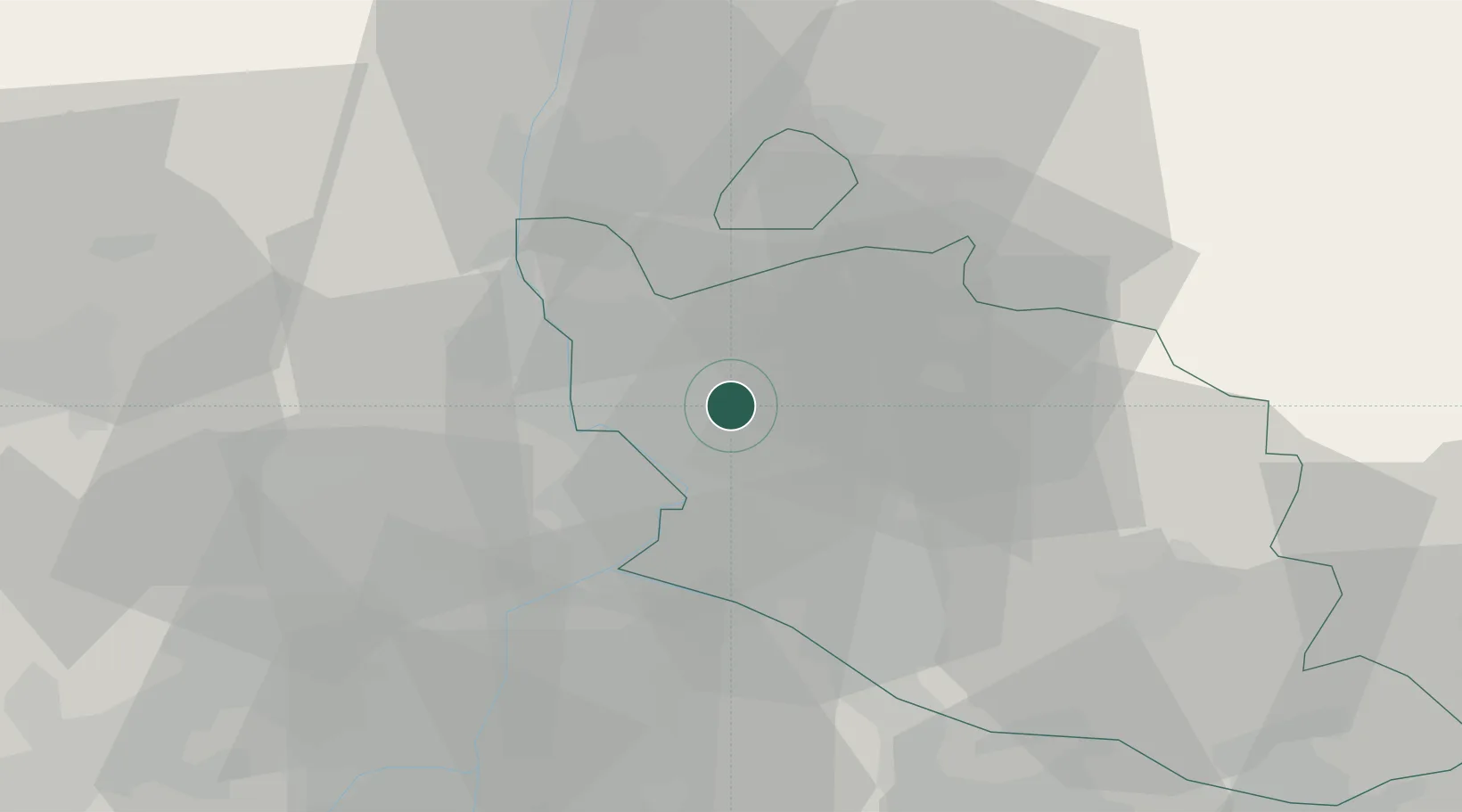
Hub Profile
Place type
Populated place
Region
Provence-Alpes-Côte d'Azur
Population
4,195
Time zone
Europe/Paris
Elevation
55 m
Location
Nearby Logistics Neighbours
Cities
- 1Orange7 km
- 2Travaillan7 km
- 3Sérignan-du-Comtat8 km
- 4Loriol-du-Comtat9 km
- 5Bédarrides9 km
Ports
- 1Fos78 km
- 2Port-de-Bouc80 km
- 3Port Saint Louis Du Rhone82 km
- 4Marseille97 km
- 5Sete125 km
Airports
Trade Zones
- 1ZFU Avignon20 km
- 2ZFU Nîmes55 km
- 3ZFU Valence90 km
- 4ZFU Marseille 15e et 16e95 km
- 5ZFU Saint-Barthélémy, Le Canet, Delorme-Paternelle97 km
DatabookThe Record of Consolidated Knowledge
France beyond logistics?