Transport Functions
Road
Multimodal
Hub Profile
Place type
Populated place
Region
Rhône-Alpes
Time zone
Europe/Paris
Elevation
200 m
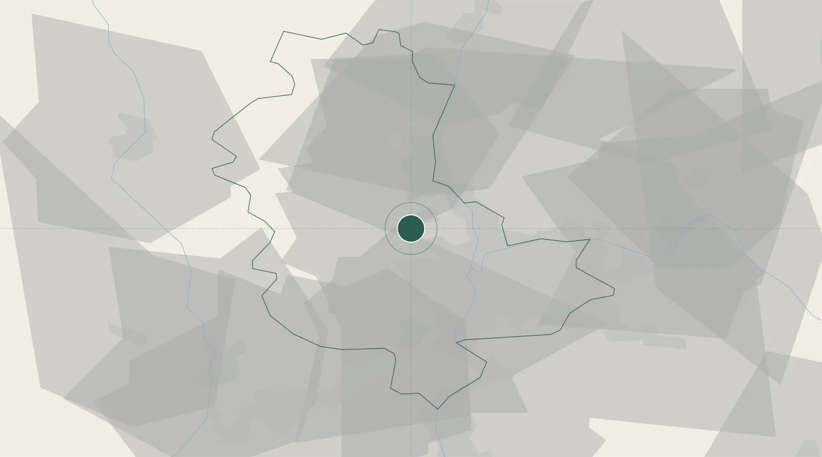
Location
Nearby Logistics Neighbours
Cities
- 1Dommartin2 km
- 2La Tour-de-Salvagny4 km
- 3Lentilly5 km
- 4Châtillon5 km
- 5Morancé6 km
Ports
- 1Fos271 km
- 2Port-de-Bouc273 km
- 3Port Saint Louis Du Rhone274 km
- 4Sete284 km
- 5Marseille287 km
Airports
Trade Zones
- 1ZFU Lyon 9e12 km
- 2ZFU Rillieux-la-Pape13 km
- 3ZFU Vaulx-en-Velin19 km
- 4ZFU Vénissieux21 km
- 5ZFU Saint-Etienne57 km
DatabookThe Record of Consolidated Knowledge
France beyond logistics?