Transport Functions
Port
Road
Multimodal
Hub Profile
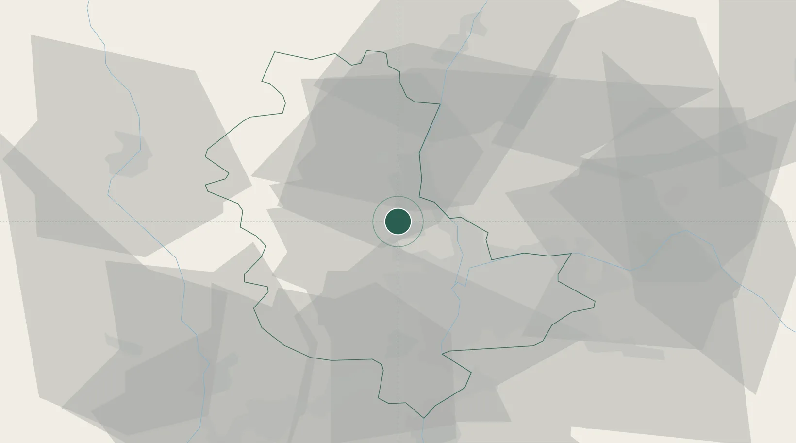
Place type
Populated place
Region
Rhône-Alpes
Population
1,787
Time zone
Europe/Paris
Elevation
220 m
Location
Nearby Logistics Neighbours
Cities
- 1Lucenay2 km
- 2Marcy2 km
- 3Anse4 km
- 4Châtillon4 km
- 5Civrieux-d'Azergues6 km
Ports
- 1Fos277 km
- 2Port-de-Bouc279 km
- 3Port Saint Louis Du Rhone280 km
- 4Sete289 km
- 5Marseille292 km
Airports
Trade Zones
- 1ZFU Rillieux-la-Pape15 km
- 2ZFU Lyon 9e16 km
- 3ZFU Vaulx-en-Velin22 km
- 4ZFU Vénissieux25 km
- 5ZFU Saint-Etienne62 km
DatabookThe Record of Consolidated Knowledge
France beyond logistics?