Transport Functions
Multimodal
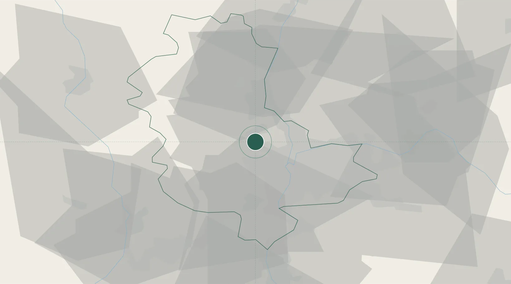
Hub Profile
Place type
Populated place
Region
Rhône-Alpes
Population
654
Time zone
Europe/Paris
Elevation
298 m
Location
Nearby Logistics Neighbours
Cities
- 1La Tour-de-Salvagny2 km
- 2Civrieux-d'Azergues2 km
- 3Lentilly4 km
- 4Chasselay6 km
- 5Saint-Germain-au-Mont-d'Or7 km
Ports
- 1Fos269 km
- 2Port-de-Bouc271 km
- 3Port Saint Louis Du Rhone273 km
- 4Sete282 km
- 5Marseille285 km
Airports
Trade Zones
- 1ZFU Lyon 9e10 km
- 2ZFU Rillieux-la-Pape11 km
- 3ZFU Vaulx-en-Velin17 km
- 4ZFU Vénissieux18 km
- 5ZFU Saint-Etienne56 km
DatabookThe Record of Consolidated Knowledge
France beyond logistics?