UN/LOCODE hub · France
FRYTN
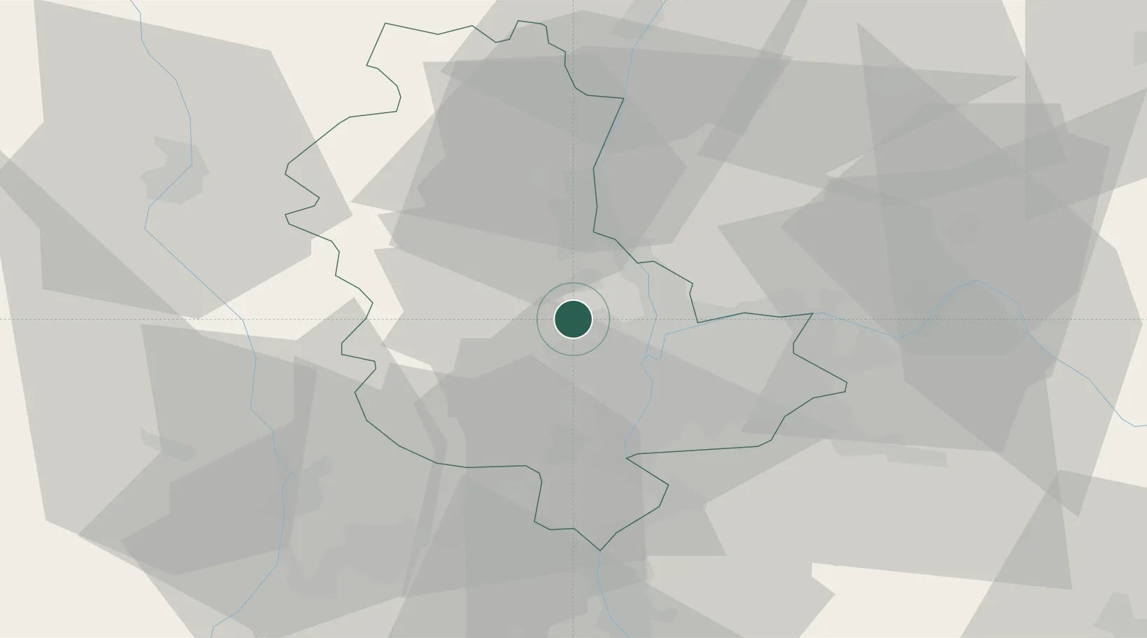
La Tour-de-Salvagny
45.8167°, 4.7167°
3,625
Population
1
Transport functions
Transport Functions
Multimodal
Hub Profile
Place type
Populated place
Region
Rhône-Alpes
Population
3,625
Time zone
Europe/Paris
Elevation
352 m
Location
Nearby Logistics Neighbours
Cities
- 1Dommartin2 km
- 2Lentilly4 km
- 3Civrieux-d'Azergues4 km
- 4Chasselay8 km
- 5Tassin-la-Demi-Lune8 km
Ports
- 1Fos267 km
- 2Port-de-Bouc270 km
- 3Port Saint Louis Du Rhone271 km
- 4Sete281 km
- 5Marseille283 km
Airports
Trade Zones
- 1ZFU Lyon 9e8 km
- 2ZFU Rillieux-la-Pape11 km
- 3ZFU Vaulx-en-Velin16 km
- 4ZFU Vénissieux17 km
- 5ZFU Saint-Etienne55 km
DatabookThe Record of Consolidated Knowledge
France beyond logistics?