Transport Functions
Road
Multimodal
Hub Profile
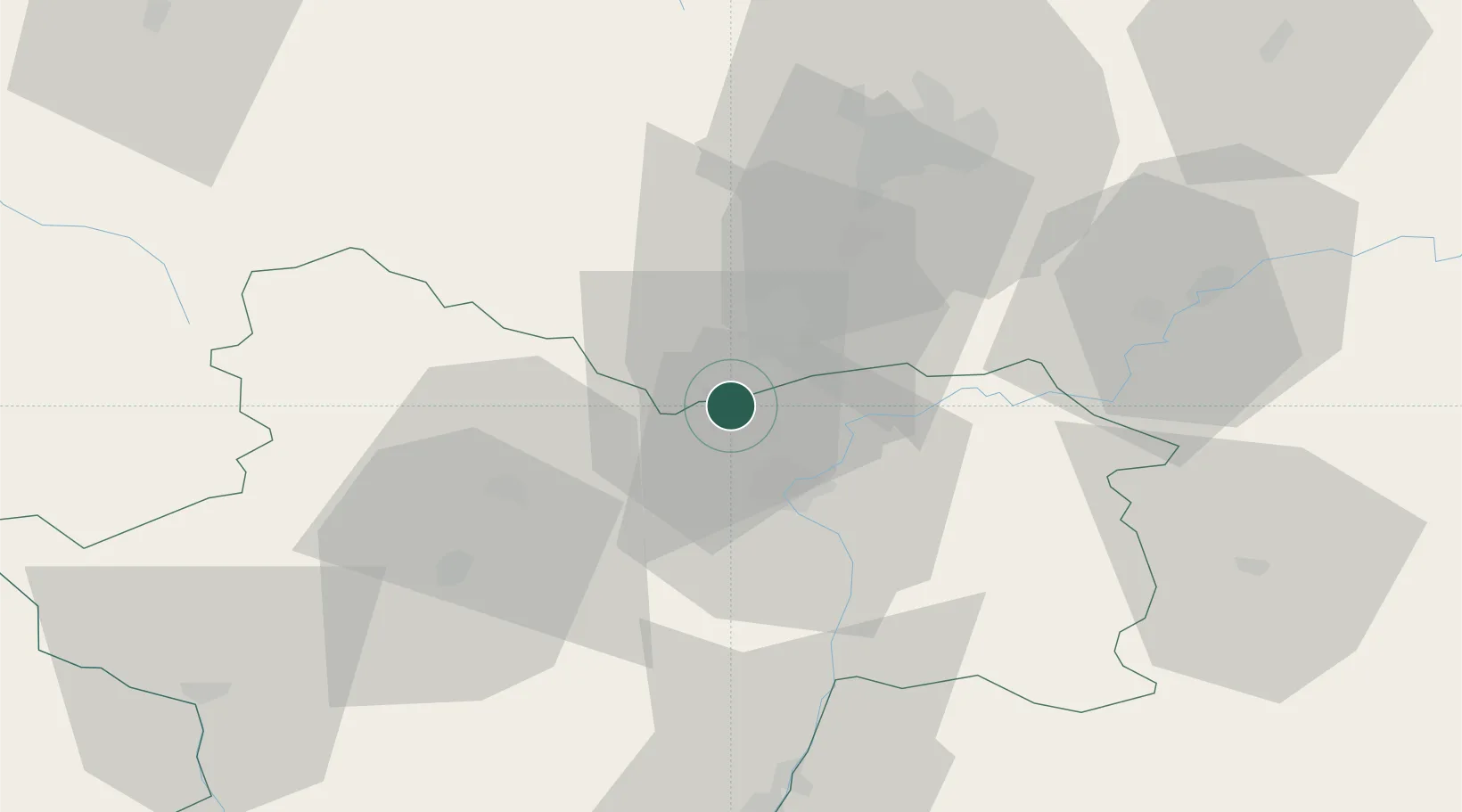
Place type
Populated place
Region
Bourgogne
Population
847
Time zone
Europe/Paris
Elevation
200 m
Location
Nearby Logistics Neighbours
Cities
- 1Corpeau3 km
- 2Corcelles-les-Arts4 km
- 3Demigny4 km
- 4Puligny-Montrachet5 km
- 5Tailly6 km
Ports
- 1Fos389 km
- 2Port-de-Bouc391 km
- 3Port Saint Louis Du Rhone393 km
- 4Port Of Rouen394 km
- 5Sete400 km
Airports
- 1Dijon Longvic airport46 km
- 2Dole Tavaux Airport51 km
- 3Mâcon-Charnay Airfield69 km
- 4Saint-Yan Airport81 km
- 5Ambérieu Air Base (BA 278)112 km
Trade Zones
- 1ZFU Chenôve44 km
- 2ZFU Besancon99 km
- 3ZFU Rillieux-la-Pape121 km
- 4Geneva Cointrin International Airport Free Port127 km
- 5ZFU Vaulx-en-Velin127 km
DatabookThe Record of Consolidated Knowledge
France beyond logistics?