UN/LOCODE hub · France
FRLY8

Tailly

46.9667°, 4.8167°
213
Population
2
Transport functions

Transport Functions

Road
Multimodal
UN/LOCODE

Hub Profile

Place type
Populated place
GeoNames
Region
Bourgogne
GeoNames
Population
213
GeoNames
Time zone
Europe/Paris
GeoNames
Elevation
208 m
GeoNames

Location

Location of FRLY8
Natural Earth 10m (public domain) · Bourgogne · FRLY8 · 46.97, 4.82GoogleOSMYandex

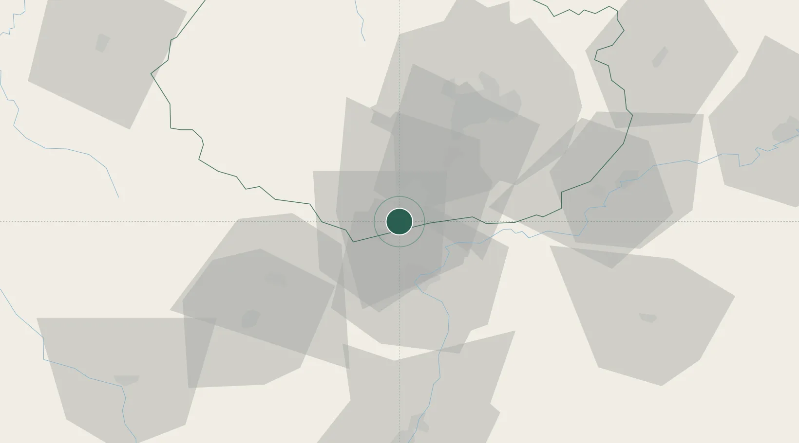
Nearby Logistics Neighbours

Cities
  1. 1Bligny-lès-Beaune2 km
  2. 2Corcelles-les-Arts2 km
  3. 3Demigny4 km
  4. 4Volnay5 km
  5. 5Monthelie5 km
Nearest neighbours — logibook spatial index (haversine) over the source coordinates
Ports
  1. 1Port Of Rouen392 km
  2. 2Fos395 km
  3. 3Port-de-Bouc397 km
  4. 4Port Saint Louis Du Rhone398 km
  5. 5Sete406 km
Nearest neighbours — logibook spatial index (haversine) over the source coordinates
Airports
  1. 1Dijon Longvic airport40 km
  2. 2Dole Tavaux Airport47 km
  3. 3Mâcon-Charnay Airfield75 km
  4. 4Saint-Yan Airport87 km
  5. 5Ambérieu Air Base (BA 278)116 km
Nearest neighbours — logibook spatial index (haversine) over the source coordinates
Trade Zones
  1. 1ZFU Chenôve38 km
  2. 2ZFU Besancon95 km
  3. 3ZFU Rillieux-la-Pape127 km
  4. 4Geneva Cointrin International Airport Free Port128 km
  5. 5Port Franc de Geneve130 km
Nearest neighbours — logibook spatial index (haversine) over the source coordinates
DatabookThe Record of Consolidated Knowledge
France beyond logistics?
Browse databook

All Sources

LocationsUN/LOCODE
UN/LOCODE — free
LocationsGeoNames
CC BY 4.0
Portsthe NGA World Port Index
Public domain (US gov)
AirportsOurAirports
Public domain
Trade Zonesthe World Bank SEZ database
CC BY 4.0
Trade ZonesOpen Zone Map
CC BY
← France locations