Transport Functions
Rail
Road
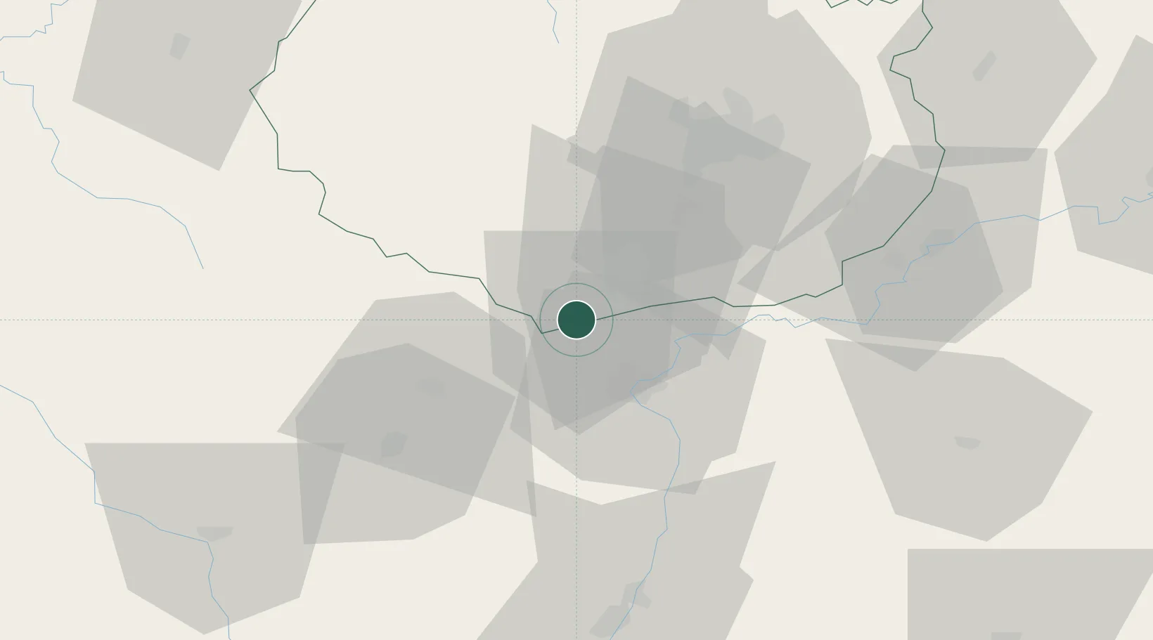
Hub Profile
Place type
Populated place
Region
Bourgogne
Population
1,049
Time zone
Europe/Paris
Elevation
228 m
Location
Nearby Logistics Neighbours
Cities
- 1Puligny-Montrachet2 km
- 2Chaudenay3 km
- 3Saint-Aubin4 km
- 4Corcelles-les-Arts4 km
- 5Auxey-Duresses6 km
Ports
- 1Port Of Rouen391 km
- 2Fos391 km
- 3Port-de-Bouc393 km
- 4Port Saint Louis Du Rhone395 km
- 5Sete401 km
Airports
- 1Dijon Longvic airport45 km
- 2Dole Tavaux Airport53 km
- 3Mâcon-Charnay Airfield71 km
- 4Saint-Yan Airport81 km
- 5Roanne-Renaison Airport113 km
Trade Zones
- 1ZFU Chenôve44 km
- 2ZFU Besancon101 km
- 3ZFU Rillieux-la-Pape123 km
- 4ZFU Vaulx-en-Velin129 km
- 5ZFU Lyon 9e129 km
DatabookThe Record of Consolidated Knowledge
France beyond logistics?